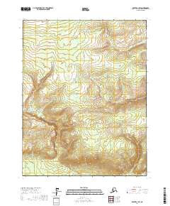
2017 Map of Beaver C-1 SW
USGS Topo · Published 2017About this map
Twentyfour Mile Cr winds through the northern portion of this Alaska interior landscape, defining the primary drainage pattern of this high-latitude terrain. The survey area is dominated by significant relief, with elevation contours illustrating a series of ridges and valleys that characterize the Yukon-Koyukuk Census Area. The land is organized by the Public Land Survey System, spanning several townships including t21n r1e, t20n r2e, and t19n r2e. Unlike more developed regions, this area remains focused on its natural hydrology and topographic structure, providing a detailed look at the wilderness before any significant human infrastructure or named settlements were recorded in the national datasets for this quadrant.
Find a feature on this map
7 named features on this map. Tap any name to fly to it.
Don’t see what you’re looking for? This feature index may not catch every label — zoom into the map to look around manually.
Map Details
Editions of this 2017 Beaver C-1 SW Map
This is the sole edition of this map. No revisions or reprints were ever made.
Other maps of this area

1951 · Beaver
USGS Topo · 1:250,000

1956 · Beaver B-2
USGS Topo · 1:63,360

1956 · Beaver
USGS Topo · 1:250,000

1956 · Beaver B-1
USGS Topo · 1:63,360

1964 · Beaver
USGS Topo · 1:250,000
1990 · Beaver C-2
USGS Topo · 1:63,360
1990 · Beaver C-1
USGS Topo · 1:63,360
2017 · Beaver C-1 NE
USGS Topo · 1:25,000
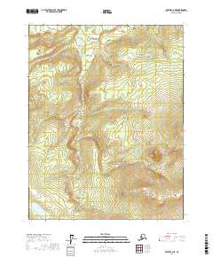
2017 · Beaver C-2 NE
USGS Topo · 1:25,000
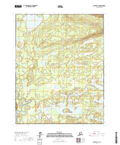
2017 · Beaver B-2 NE
USGS Topo · 1:25,000