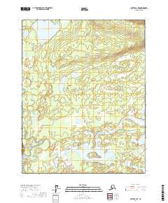
2017 Map of Beaver B-2 NE
USGS Topo · Published 2017About this map
The Hodzana River meanders through the southwestern corner of this landscape in the Yukon-Koyukuk Census Area, defining a low-lying region dominated by complex hydrography. Large interior water bodies like Big Lake and Nelson Lake anchor the northern and southern sectors, surrounded by numerous unnamed wetlands and smaller ponds that characterize this subarctic terrain. The absence of roads or permanent settlements highlights the wilderness character of the region, where the only named land feature, George Meadow, sits east of the river's main channel. This topographic study reveals a remarkably flat environment where drainage patterns and lake systems, such as Pitka Lake in the southeast, are the primary markers of location across the public land survey townships of t19n r1w, t19n r1e, t18n r1w, and t18n r1e.
Find a feature on this map
9 named features on this map. Tap any name to fly to it.
Don’t see what you’re looking for? This feature index may not catch every label — zoom into the map to look around manually.
Map Details
Editions of this 2017 Beaver B-2 NE Map
This is the sole edition of this map. No revisions or reprints were ever made.
Other maps of this area

1951 · Beaver
USGS Topo · 1:250,000

1956 · Beaver B-2
USGS Topo · 1:63,360

1956 · Beaver
USGS Topo · 1:250,000

1956 · Beaver B-1
USGS Topo · 1:63,360

1964 · Beaver
USGS Topo · 1:250,000
1990 · Beaver C-2
USGS Topo · 1:63,360
1990 · Beaver C-1
USGS Topo · 1:63,360
2017 · Beaver B-2 NW
USGS Topo · 1:25,000
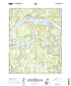
2017 · Beaver B-1 SW
USGS Topo · 1:25,000
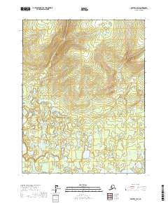
2017 · Beaver C-2 SW
USGS Topo · 1:25,000