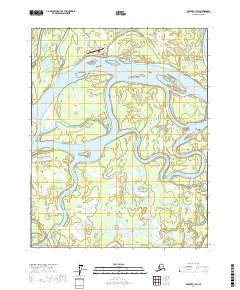
2017 Map of Beaver B-1 SW
USGS Topo · Published 2017About this map
Beaver serves as a remote hub along the northern bank of the Yukon River, positioned where the river begins to thread through the complex wetlands of the Yukon Flats. The community's infrastructure is tightly clustered around the Beaver Airport and local thoroughfares like Second Avenue, reflecting the critical role of aviation in this roadless interior region. Beyond the settlement, the landscape is a mosaic of shifting waterways and standing water, including the large Joe Guay Island and numerous named bodies such as Pitka Lake, Island Lake, and Greenhorn Lake. The intricate drainage patterns of Beaver Slough and Fish Slough illustrate the dynamic nature of the river's floodplain, where seasonal changes and silt deposits constantly reshape the navigation channels and traditional subsistence grounds.
Find a feature on this map
21 named features on this map. Tap any name to fly to it.
Don’t see what you’re looking for? This feature index may not catch every label — zoom into the map to look around manually.
Map Details
Editions of this 2017 Beaver B-1 SW Map
This is the sole edition of this map. No revisions or reprints were ever made.
Other maps of this area

1951 · Beaver
USGS Topo · 1:250,000

1956 · Beaver B-2
USGS Topo · 1:63,360
1956 · Beaver A-1
USGS Topo · 1:63,360
1956 · Beaver A-2
USGS Topo · 1:63,360

1956 · Beaver
USGS Topo · 1:250,000

1956 · Beaver B-1
USGS Topo · 1:63,360

1964 · Beaver
USGS Topo · 1:250,000
2017 · Beaver A-2 NE
USGS Topo · 1:25,000
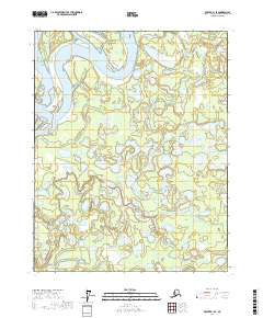
2017 · Beaver B-1 SE
USGS Topo · 1:25,000
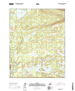
2017 · Beaver B-2 NE
USGS Topo · 1:25,000