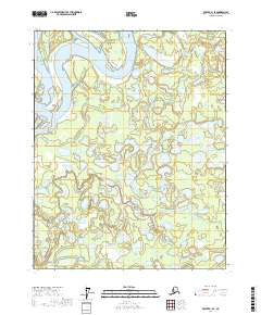
2017 Map of Beaver B-1 SE
USGS Topo · Published 2017About this map
Yukon Flats dominates this landscape, where the braided path of the Yukon River carves through a labyrinth of wetlands and watercourses. This interior Alaskan terrain is defined by its complex hydrologic network, including the significant reach of Beaver Creek and the meandering Ed Berg Slough. The area is a mosaic of seasonal and permanent water bodies like Mud Lakes, which characterize the alluvial environment of the Yukon-Koyukuk region.
Find a feature on this map
12 named features on this map. Tap any name to fly to it.
Don’t see what you’re looking for? This feature index may not catch every label — zoom into the map to look around manually.
Map Details
Editions of this 2017 Beaver B-1 SE Map
This is the sole edition of this map. No revisions or reprints were ever made.
Other maps of this area

1951 · Fort Yukon
USGS Topo · 1:250,000

1951 · Beaver
USGS Topo · 1:250,000

1956 · Fort Yukon B-6
USGS Topo · 1:63,360
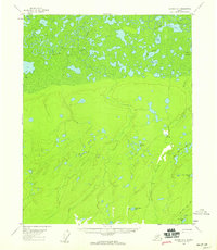
1956 · Beaver A-1
USGS Topo · 1:63,360
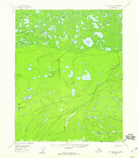
1956 · Fort Yukon A-6
USGS Topo · 1:63,360

1956 · Beaver
USGS Topo · 1:250,000

1956 · Beaver B-1
USGS Topo · 1:63,360

1956 · Fort Yukon
USGS Topo · 1:250,000

1964 · Beaver
USGS Topo · 1:250,000
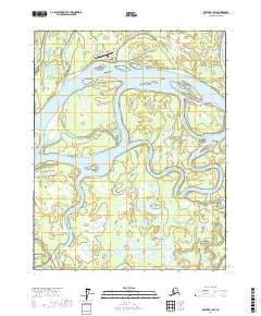
2017 · Beaver B-1 SW
USGS Topo · 1:25,000