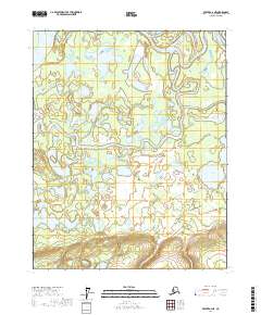
2017 Map of Beaver A-2 NE
USGS Topo · Published 2017About this map
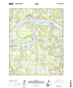
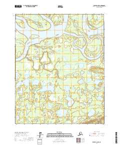
The Yukon River flows through the northwest corner of this sub-arctic expanse, marking the edge of a complex wetland environment. Situated within the Yukon Flats, the landscape is dominated by an intricate network of water bodies and meandering channels. Principal drainages such as Beaver Creek and Bear Creek snake through the terrain, creating a saturated geography of sloughs and isolated lakes. Notable basins including North Fork Lake, Beaverdam Lake, Sweeney Lake, and Sunken Lake are scattered across the quadrangle, illustrating the shifting hydrology of this riverine system. The absence of permanent roads or settlements emphasizes the wilderness character of this region in the Yukon-Koyukuk area, where the environment is defined almost entirely by its alluvial processes and seasonal water levels.
Find a feature on this map
14 named features on this map. Tap any name to fly to it.
Don’t see what you’re looking for? This feature index may not catch every label — zoom into the map to look around manually.
Map Details
Editions of this 2017 Beaver A-2 NE Map
This is the sole edition of this map. No revisions or reprints were ever made.
Other maps of this area

1951 · Beaver
USGS Topo · 1:250,000

1956 · Beaver B-2
USGS Topo · 1:63,360
1956 · Beaver A-1
USGS Topo · 1:63,360
1956 · Beaver A-2
USGS Topo · 1:63,360

1956 · Beaver
USGS Topo · 1:250,000

1956 · Beaver B-1
USGS Topo · 1:63,360

1964 · Beaver
USGS Topo · 1:250,000
2017 · Beaver A-1 SW
USGS Topo · 1:25,000
2017 · Beaver B-1 SW
USGS Topo · 1:25,000
2017 · Beaver A-2 NW
USGS Topo · 1:25,000