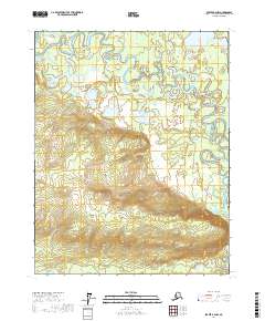
2017 Map of Beaver B-2 NW
USGS Topo · Published 2017About this map
The Hodzana River snakes through this interior Alaskan landscape, defining the northern and eastern reaches of the area with its intricate, shifting meanders. This 2017 survey reveals a complex hydrological environment where The Slough and Long Lake sit within the river's broad floodplain, illustrating how the water has carved and recarved the valley over time.
Find a feature on this map
11 named features on this map. Tap any name to fly to it.
Don’t see what you’re looking for? This feature index may not catch every label — zoom into the map to look around manually.
Map Details
Editions of this 2017 Beaver B-2 NW Map
This is the sole edition of this map. No revisions or reprints were ever made.
Other maps of this area

1951 · Beaver
USGS Topo · 1:250,000

1956 · Beaver B-2
USGS Topo · 1:63,360

1956 · Beaver B-3
USGS Topo · 1:63,360

1956 · Beaver
USGS Topo · 1:250,000

1964 · Beaver
USGS Topo · 1:250,000
1990 · Beaver C-2
USGS Topo · 1:63,360
1990 · Beaver C-3
USGS Topo · 1:63,360
2017 · Beaver B-3 SE
USGS Topo · 1:25,000
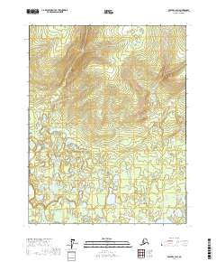
2017 · Beaver C-2 SW
USGS Topo · 1:25,000
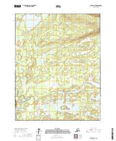
2017 · Beaver B-2 NE
USGS Topo · 1:25,000