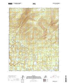
2017 Map of Beaver C-2 SW
USGS Topo · Published 2017About this map
The interior wilderness of Alaska's Yukon-Koyukuk Census Area is defined by subtle drainage patterns and isolated water bodies in this survey of the Beaver C-2 SW region. Sparse hydrologic features such as Adam Lake and Long Lake stand out against a complex system of township and range boundaries, including t21n r2w and t19n r1w, which provide the primary framework for locating oneself in this unpopulated landscape. The terrain is characterized by intricate contour intervals that reveal the gradual elevations of the northern interior before reaching the higher peaks of the Brooks Range to the north. These maps are essential for understanding the late-modern state of the Alaskan bush, where named features are rare and geographic orientation relies heavily on the Public Land Survey System and the few permanent lakes that dot the tundra.
Find a feature on this map
8 named features on this map. Tap any name to fly to it.
Don’t see what you’re looking for? This feature index may not catch every label — zoom into the map to look around manually.
Map Details
Editions of this 2017 Beaver C-2 SW Map
This is the sole edition of this map. No revisions or reprints were ever made.
Other maps of this area

1951 · Beaver
USGS Topo · 1:250,000

1956 · Beaver B-2
USGS Topo · 1:63,360

1956 · Beaver B-3
USGS Topo · 1:63,360

1956 · Beaver
USGS Topo · 1:250,000

1964 · Beaver
USGS Topo · 1:250,000
1990 · Beaver C-2
USGS Topo · 1:63,360
1990 · Beaver C-3
USGS Topo · 1:63,360
2017 · Beaver B-2 NW
USGS Topo · 1:25,000
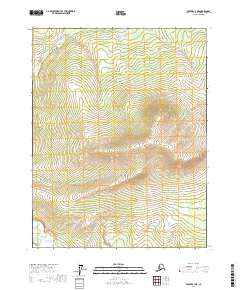
2017 · Beaver C-3 NE
USGS Topo · 1:25,000
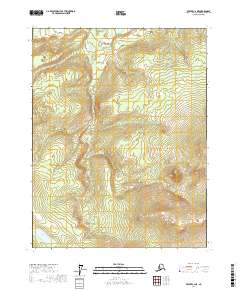
2017 · Beaver C-2 NE
USGS Topo · 1:25,000