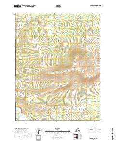
2017 Map of Beaver C-3 NE
USGS Topo · Published 2017About this map
Nelson Mtn dominates the central landscape of this interior Alaskan territory within the Yukon-Koyukuk Census Area. This high-latitude environment is characterized by sharp relief and elevation changes that delineate the local watersheds. The map's administrative framework is defined by the intersections of four townships: T22n R3w, T22n R2w, T21n R3w, and T21n R2w. The absence of named settlements or roads reflects the wilderness character of the region during this 2017 survey, where topography and natural landmarks remain the primary waypoints for navigation and land management.
Find a feature on this map
5 named features on this map. Tap any name to fly to it.
Don’t see what you’re looking for? This feature index may not catch every label — zoom into the map to look around manually.
Map Details
Editions of this 2017 Beaver C-3 NE Map
This is the sole edition of this map. No revisions or reprints were ever made.
Other maps of this area

1951 · Beaver
USGS Topo · 1:250,000

1956 · Beaver
USGS Topo · 1:250,000

1964 · Beaver
USGS Topo · 1:250,000
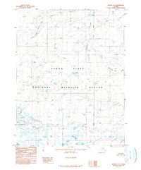
1990 · Beaver C-2
USGS Topo · 1:63,360
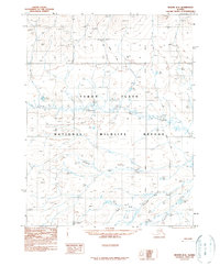
1990 · Beaver D-2
USGS Topo · 1:63,360
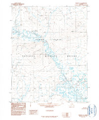
1990 · Beaver C-3
USGS Topo · 1:63,360
1990 · Beaver D-3
USGS Topo · 1:63,360
2017 · Beaver D-3 SE
USGS Topo · 1:25,000
2017 · Beaver D-3 SW
USGS Topo · 1:25,000
2017 · Beaver C-3 NW
USGS Topo · 1:25,000