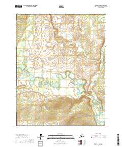
2017 Map of Beaver C-3 NW
USGS Topo · Published 2017About this map
The Hodzana River dominates this interior Alaska landscape, winding through a complex network of oxbow lakes and wetlands. The river's serpentine path is punctuated by distinctive geographic features such as The Mudbank and The Narrows, which serve as primary landmarks in an otherwise fluid riparian environment. To the north, the Pitka Fork Hodzana River feeds into the main waterway, illustrating the drainage patterns within the Yukon-Koyukuk region. This 2017 survey details the land divisions across several townships, including t22n r4w and t21n r3w, providing a precise look at the Public Land Survey System grid as it intersects with the natural topography of the river valley. The map is an essential reference for understanding the modern hydrologic character of these remote subarctic reaches.
Find a feature on this map
8 named features on this map. Tap any name to fly to it.
Don’t see what you’re looking for? This feature index may not catch every label — zoom into the map to look around manually.
Map Details
Editions of this 2017 Beaver C-3 NW Map
This is the sole edition of this map. No revisions or reprints were ever made.
Other maps of this area

1951 · Beaver
USGS Topo · 1:250,000

1956 · Beaver
USGS Topo · 1:250,000

1964 · Beaver
USGS Topo · 1:250,000
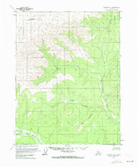
1970 · Beaver D-4
USGS Topo · 1:63,360
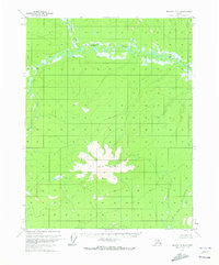
1970 · Beaver C-4
USGS Topo · 1:63,360
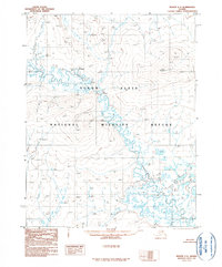
1990 · Beaver C-3
USGS Topo · 1:63,360
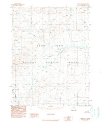
1990 · Beaver D-3
USGS Topo · 1:63,360
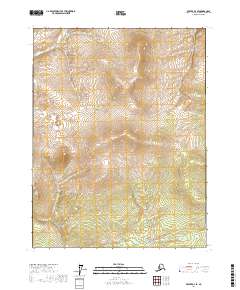
2017 · Beaver D-3 SE
USGS Topo · 1:25,000
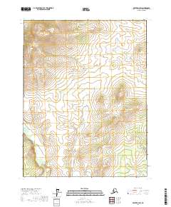
2017 · Beaver D-3 SW
USGS Topo · 1:25,000
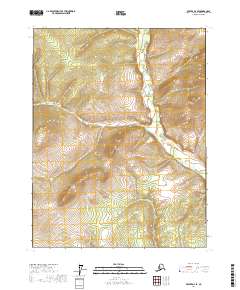
2017 · Beaver D-4 SE
USGS Topo · 1:25,000