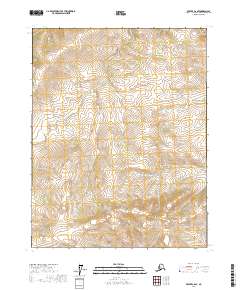
2017 Map of Beaver C-6 SE
USGS Topo · Published 2017About this map
The Hodzana River winds through this interior Alaskan wilderness, cutting through a landscape defined by the prominent elevation of Doll Mtn. This 2017 survey by the U.S. Geological Survey details a remote section of the Yukon-Koyukuk Census Area where the terrain rises from the river valley toward the peaks in the southeast. The map is primarily characterized by its complex contouring and lack of modern infrastructure, reflecting the isolation of the northern bush. Surveyed boundaries for various townships, including t20n r10w and t21n r9w, provide the only administrative framework over this vast, unpopulated terrain. For those studying the hydrology of the Yukon drainage basin or the specific topography of the Doll Mtn area, this sheet offers an exact record of the river's path and the surrounding high ground.
Find a feature on this map
8 named features on this map. Tap any name to fly to it.
Don’t see what you’re looking for? This feature index may not catch every label — zoom into the map to look around manually.
Map Details
Editions of this 2017 Beaver C-6 SE Map
This is the sole edition of this map. No revisions or reprints were ever made.
Other maps of this area

1951 · Beaver
USGS Topo · 1:250,000

1956 · Beaver B-5
USGS Topo · 1:63,360

1956 · Beaver
USGS Topo · 1:250,000

1964 · Beaver
USGS Topo · 1:250,000
1970 · Beaver C-6
USGS Topo · 1:63,360

1970 · Beaver B-6
USGS Topo · 1:63,360
1970 · Beaver C-5
USGS Topo · 1:63,360
2017 · Beaver B-6 NE
USGS Topo · 1:25,000
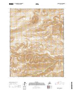
2017 · Beaver C-6 NW
USGS Topo · 1:25,000
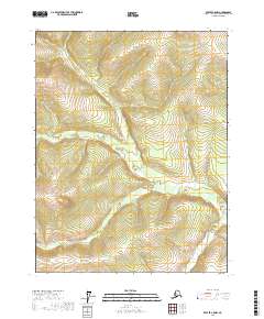
2017 · Beaver C-5 NW
USGS Topo · 1:25,000