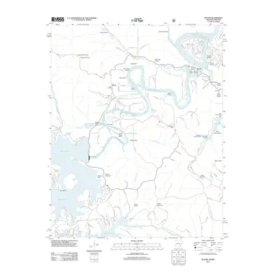
2012 Map of Beaver
USGS Topo · Published 2012About this map
Beaver and Busch define the settled landscape of this Arkansas-Missouri borderland, where the impounded waters of Table Rock Lake and Beaver Lake have fundamentally reshaped the terrain. The presence of the massive Beaver Dam and the smaller Lake Leatherwood Dam indicates a region deeply tied to water management and hydroelectric development in the early 21st century. High bluffs and deep hollows, such as Salts Bluff and Democrat Hollow, characterize the White River valley's rugged relief.
Find a feature on this map
154 named features on this map. Tap any name to fly to it.
Don’t see what you’re looking for? This feature index may not catch every label — zoom into the map to look around manually.
Map Details
Editions of this 2012 Beaver Map
This is the sole edition of this map. No revisions or reprints were ever made.
Other maps of this area

1900 · Eureka Springs
USGS Topo · 1:125,000

1901 · Eureka Springs
USGS Topo · 1:125,000

1927 · Shell Knob
USGS Topo · 1:62,500

1937 · Cassville
USGS Topo · 1:48,000

1944 · Cassville
USGS Topo · 1:62,500

1945 · Harrison
USGS Topo · 1:250,000

1949 · Harrison
USGS Topo · 1:250,000

1950 · Shell Knob
USGS Topo · 1:62,500

1954 · Harrison
USGS Topo · 1:250,000

1957 · Mundell
USGS Topo · 1:24,000