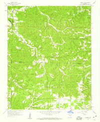
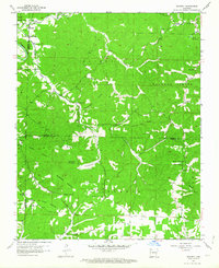
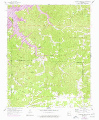
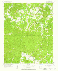
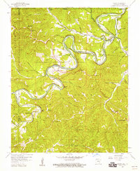
1957 Map of Mundell
USGS Topo · Published 1959About this map
Big Clifty Creek and its complex network of tributaries define the high-relief landscape of the Ozarks where Benton, Madison, and Carroll counties converge. In the late 1950s, this area was characterized by small, dispersed rural settlements and a strong presence of local institutions that anchored these isolated hollows. Mundell and Lone Star serve as primary points of interest, while a high density of small churches such as Union Chapel, Beulah Ch, and Rock Ch reflect the social fabric of the era.
Find a feature on this map
42 named features on this map. Tap any name to fly to it.
Don’t see what you’re looking for? This feature index may not catch every label — zoom into the map to look around manually.
Map Details
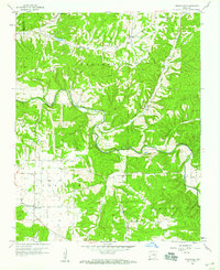
Editions of this 1957 Mundell Map
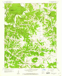
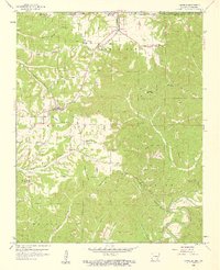
Other maps of this area

1900 · Eureka Springs
USGS Topo · 1:125,000

1901 · Eureka Springs
USGS Topo · 1:125,000

1945 · Harrison
USGS Topo · 1:250,000

1949 · Harrison
USGS Topo · 1:250,000

1954 · Harrison
USGS Topo · 1:250,000
1957 · War Eagle
USGS Topo · 1:24,000
1957 · Beaver
USGS Topo · 1:24,000
1958 · Spring Valley
USGS Topo · 1:24,000
1958 · Hindsville
USGS Topo · 1:24,000
1958 · Garfield
USGS Topo · 1:24,000