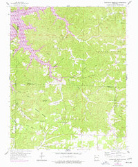
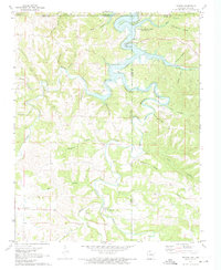
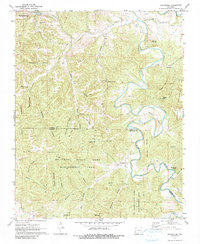
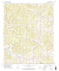
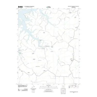
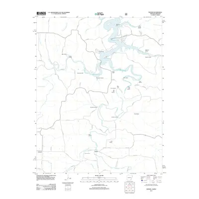
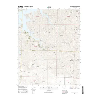
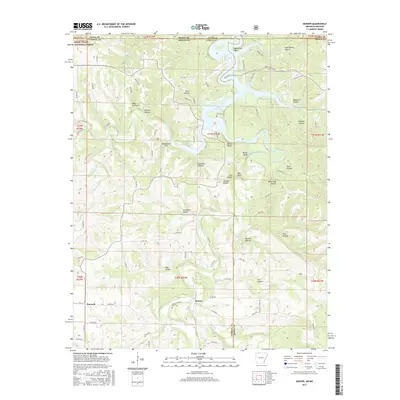
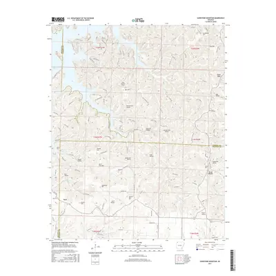
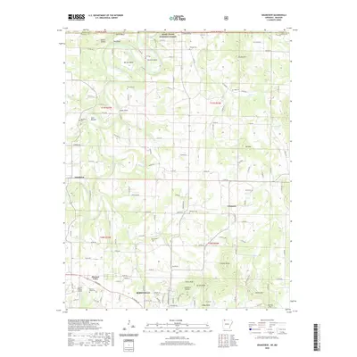
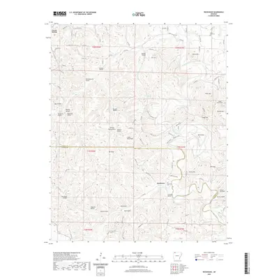
1957 Map of Sandstone Mountain
USGS Topo · Published 1977About this map
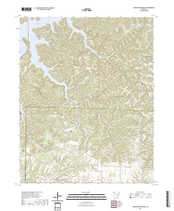
Sandstone Mountain and its surrounding peaks dominate this landscape where Benton, Carroll, and Madison counties meet. The 1957 topography reveals a deeply dissected upland where water drainage into the White River has carved a complex network of hollows, including Durham Mill Hollow and Penitentiary Hollow. While much of the terrain is defined by steep ridges like Swain Mountain and Grindstone Mountain, small upland communities such as West Liberty and Lone Star persist along the winding ridge-top roads. The map records important markers for local family history, noting Pemberton and Rock Church cemeteries alongside landmarks like the Community Hall. The southern reaches of Beaver Lake appear in the northwest, showing the early impact of reservoir flooding on the original White River channel.
Find a feature on this map
39 named features on this map. Tap any name to fly to it.
Don’t see what you’re looking for? This feature index may not catch every label — zoom into the map to look around manually.
Map Details
Editions of this 1957 Sandstone Mountain Map
Historical Maps of Eureka Springs Through Time
42 maps found
1957 Sandstone Mountain
Carroll County, AR

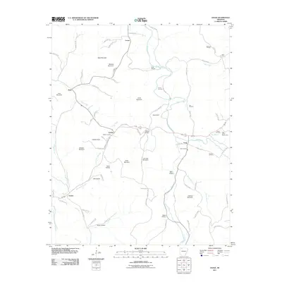
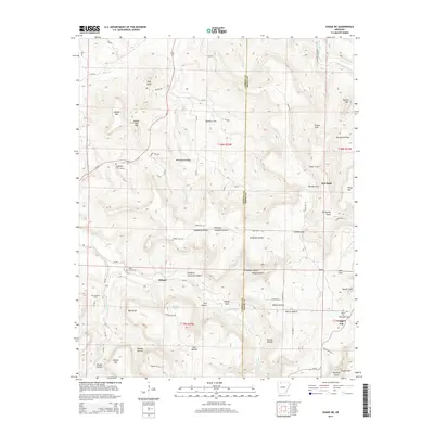
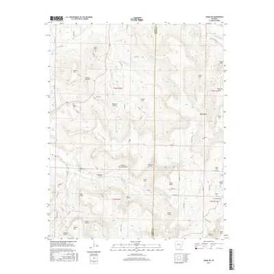
1968 Osage
Carroll County, AR
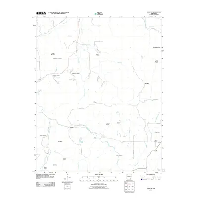
1968 Osage NE
Carroll County, AR
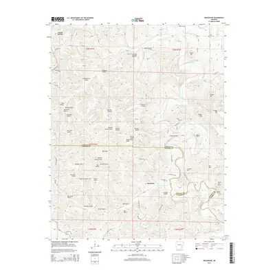
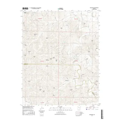
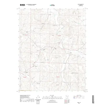
1972 Denver
Carroll County, AR

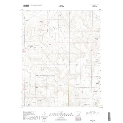
1972 Grandview
Carroll County, AR
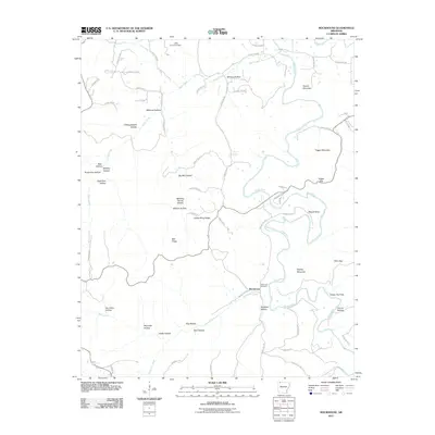
1972 Rockhouse
Carroll County, AR
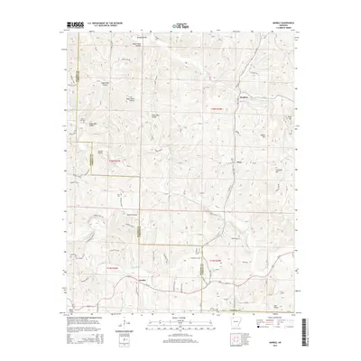
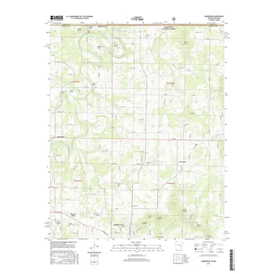
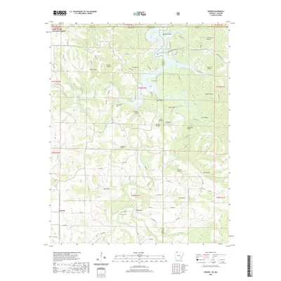
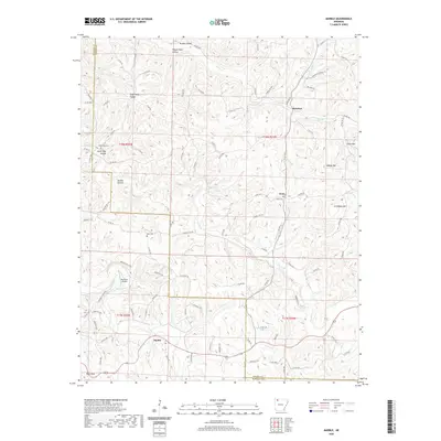
1973 Marble
Carroll County, AR
2011 Marble
Carroll County, AR
2011 Osage
Carroll County, AR
2011 Osage NE
Carroll County, AR
2011 Rockhouse
Carroll County, AR
2011 Sandstone Mountain
Carroll County, AR
2012 Denver
Carroll County, AR
2012 Grandview
Carroll County, AR
2014 Denver
Carroll County, AR
2014 Grandview
Carroll County, AR
2014 Marble
Carroll County, AR

2014 Osage
Carroll County, AR
2014 Osage NE
Carroll County, AR
2014 Rockhouse
Carroll County, AR
2014 Sandstone Mountain
Carroll County, AR
2017 Denver
Carroll County, AR
2017 Grandview
Carroll County, AR
2017 Marble
Carroll County, AR
2017 Osage
Carroll County, AR
2017 Osage NE
Carroll County, AR
2017 Rockhouse
Carroll County, AR
2017 Sandstone Mountain
Carroll County, AR
2020 Denver
Carroll County, AR
2020 Grandview
Carroll County, AR
2020 Marble
Carroll County, AR
2020 Osage
Carroll County, AR
2020 Osage NE
Carroll County, AR
2020 Rockhouse
Carroll County, AR
2020 Sandstone Mountain
Carroll County, AR
2024 Denver
Carroll County, AR
2024 Grandview
Carroll County, AR
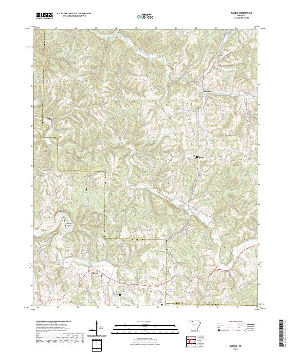
2024 Marble
Carroll County, AR
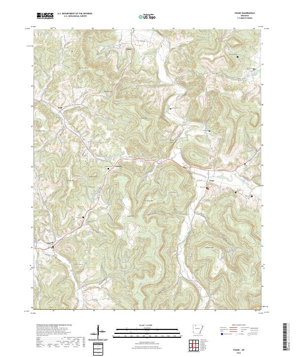
2024 Osage
Carroll County, AR
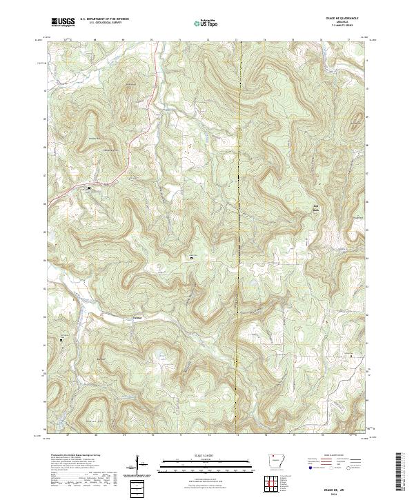
2024 Osage NE
Carroll County, AR
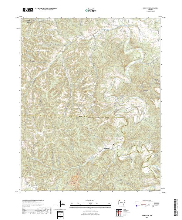
2024 Rockhouse
Carroll County, AR
2024 Sandstone Mountain
Carroll County, AR