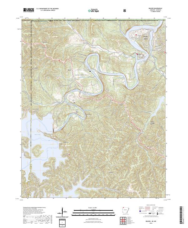
2024 Map of Beaver
USGS Topo · Published 2024About this map
Beaver Lake dominates the landscape of this northwest Arkansas region, where the White River valley meets the rugged Ozark plateau near the Missouri border. The settlement of Beaver remains a focal point along the river, accompanied by historic burial grounds like Beaver Cem and Walden Cem that anchor the local genealogy. The terrain is defined by dramatic limestone features and bluffs, including Wallace Bluff and Salts Bluff, which overlook the winding river valley. To the south, the map captures the outskirts of Eureka Springs and the expansive waters of the lake, while the northern reaches include a portion of the Mark Twain National Forest. The presence of landmarks like Inspiration Point and Blue Spring indicates a landscape shaped by both natural karst topography and longstanding tourism and settlement patterns.
Find a feature on this map
147 named features on this map. Tap any name to fly to it.
Don’t see what you’re looking for? This feature index may not catch every label — zoom into the map to look around manually.
Map Details
Editions of this 2024 Beaver Map
This is the sole edition of this map. No revisions or reprints were ever made.
Other maps of this area

1900 · Eureka Springs
USGS Topo · 1:125,000

1901 · Eureka Springs
USGS Topo · 1:125,000

1927 · Shell Knob
USGS Topo · 1:62,500

1937 · Cassville
USGS Topo · 1:48,000

1944 · Cassville
USGS Topo · 1:62,500

1945 · Harrison
USGS Topo · 1:250,000

1949 · Harrison
USGS Topo · 1:250,000

1950 · Shell Knob
USGS Topo · 1:62,500

1954 · Harrison
USGS Topo · 1:250,000

1957 · Mundell
USGS Topo · 1:24,000