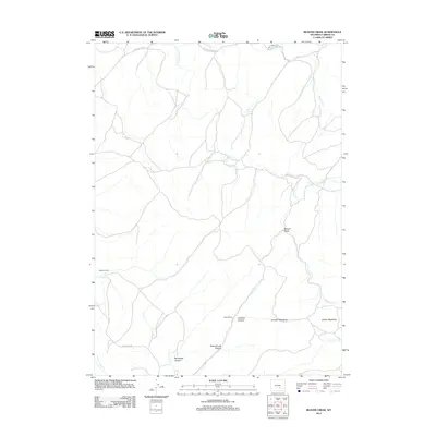
2012 Map of Beaver Creek
USGS Topo · Published 2012About this map
Tikkinen Ranch and Salmi Ranch represent the legacy of cattle and sheep ranching in this high-plains landscape of Carbon County. The map details a complex hydrological network where Beaver Creek and its tributaries, such as Beaver Jimmy Creek and Lost Creek, define the movement through the basin. Local place names like Johnson Meadows and Button Meadows indicate historically significant grazing areas, while Schoolhouse Canyon and Norbacher Canyon reveal the varied terrain of the Shirley Basin region.
Find a feature on this map
21 named features on this map. Tap any name to fly to it.
Don’t see what you’re looking for? This feature index may not catch every label — zoom into the map to look around manually.
Map Details
Editions of this 2012 Beaver Creek Map
This is the sole edition of this map. No revisions or reprints were ever made.
Other maps of this area

1953 · Leo
USGS Topo · 1:24,000

1953 · Seminoe Dam NE
USGS Topo · 1:24,000

1953 · Seminoe Dam SE
USGS Topo · 1:24,000

1953 · Fourmile Point
USGS Topo · 1:24,000

1953 · Fourmile Ridge
USGS Topo · 1:24,000

1953 · Schneider Ridge
USGS Topo · 1:24,000

1953 · The Q Ranch
USGS Topo · 1:24,000

1953 · T E Ranch
USGS Topo · 1:24,000

1953 · Beaver Creek
USGS Topo · 1:24,000

1955 · Casper
USGS Topo · 1:250,000