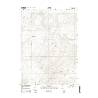
2015 Map of Beaver Creek
USGS Topo · Published 2015About this map
The Shirley Mountains anchor this high-elevation landscape in Carbon County, where a complex network of canyons and draws defines the terrain. The presence of Schoolhouse Canyon and Norbacher Canyon suggests historical land use tied to early ranching or settlement patterns in this part of Wyoming. In the southeastern reaches, the map details the open expanses of Johnson Meadows and Button Meadows, which are fed by the waters of Saylor Cr and Beaver Cr. Transport through this cattle-country terrain is facilitated by Shirley Basin Rd and Hanna Leo Rd. Numerous springs and draws, including Sullivan Spring, Balsam Draw, and Tin Can Draw, dot the topography, indicating the vital water sources required for survival and industry in this arid mountain environment.
Find a feature on this map
26 named features on this map. Tap any name to fly to it.
Don’t see what you’re looking for? This feature index may not catch every label — zoom into the map to look around manually.
Map Details
Editions of this 2015 Beaver Creek Map
This is the sole edition of this map. No revisions or reprints were ever made.
Other maps of this area

1953 · Leo
USGS Topo · 1:24,000

1953 · Seminoe Dam NE
USGS Topo · 1:24,000

1953 · Seminoe Dam SE
USGS Topo · 1:24,000

1953 · Fourmile Point
USGS Topo · 1:24,000

1953 · Fourmile Ridge
USGS Topo · 1:24,000

1953 · Schneider Ridge
USGS Topo · 1:24,000

1953 · The Q Ranch
USGS Topo · 1:24,000

1953 · T E Ranch
USGS Topo · 1:24,000

1953 · Beaver Creek
USGS Topo · 1:24,000

1955 · Casper
USGS Topo · 1:250,000