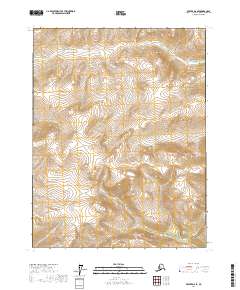
2017 Map of Beaver D-6 SE
USGS Topo · Published 2017About this map
Jim River meanders across the northern reaches of this high-latitude terrain within the Yukon-Koyukuk Census Area. This 2017 survey details a landscape defined primarily by its drainage systems, where the hydrology of the Lansing Cr and the N Fork Bonanza Cr dictates the local topography. The absence of roads or established settlements on this USGS quadrangle highlights the enduring wilderness of interior Alaska, recorded here through precise elevation contours and hydrographic data. Researchers can trace the watercourses that have shaped this subarctic environment, offering a clear view of the natural corridors used for travel and subsistence long before modern infrastructure arrived.
Find a feature on this map
9 named features on this map. Tap any name to fly to it.
Don’t see what you’re looking for? This feature index may not catch every label — zoom into the map to look around manually.
Map Details
Editions of this 2017 Beaver D-6 SE Map
This is the sole edition of this map. No revisions or reprints were ever made.
Other maps of this area

1951 · Beaver
USGS Topo · 1:250,000

1956 · Beaver
USGS Topo · 1:250,000

1964 · Beaver
USGS Topo · 1:250,000
1970 · Beaver D-5
USGS Topo · 1:63,360
1970 · Beaver C-6
USGS Topo · 1:63,360
1970 · Beaver C-5
USGS Topo · 1:63,360
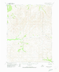
1970 · Beaver D-6
USGS Topo · 1:63,360
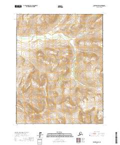
2017 · Beaver D-6 SW
USGS Topo · 1:25,000
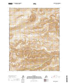
2017 · Beaver C-6 NW
USGS Topo · 1:25,000
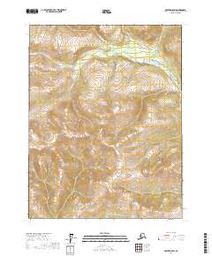
2017 · Beaver D-5 SW
USGS Topo · 1:25,000