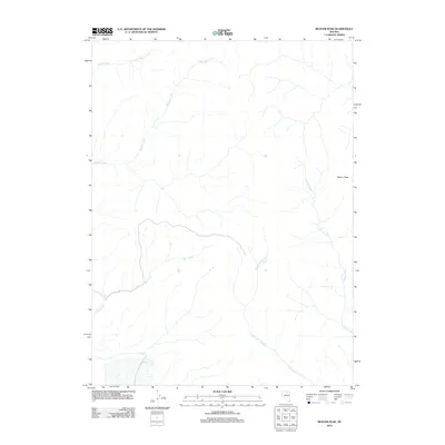
2012 Map of Beaver Peak
USGS Topo · Published 2012About this map
Beaver Peak rises as the primary landmark in this drainage basin within Elko County. The landscape is defined by its complex network of seasonal and perennial waterways that flow through the arid terrain. Squaw Creek and Boulder Creek dominate the northern reaches, while the southern slopes are drained by the branching paths of Bell Creek and Little Jack Creek. To the east, Coyote Creek carves its way through the landscape, illustrating the topographical elevation changes typical of this Nevada high-desert region. The map captures a largely undeveloped wilderness area where natural hydrology remains the dominant feature of the land, providing a record of the watershed as it existed in the early twenty-first century.
Find a feature on this map
6 named features on this map. Tap any name to fly to it.
Don’t see what you’re looking for? This feature index may not catch every label — zoom into the map to look around manually.
Map Details
Editions of this 2012 Beaver Peak Map
This is the sole edition of this map. No revisions or reprints were ever made.
Other maps of this area

1955 · McDermitt
USGS Topo · 1:250,000

1955 · Winnemucca
USGS Topo · 1:250,000

1958 · Winnemucca
USGS Topo · 1:250,000

1959 · McDermitt
USGS Topo · 1:250,000

1962 · Winnemucca
USGS Topo · 1:250,000

1968 · Rodeo Creek NE
USGS Topo · 1:24,000

1968 · Swales Mountain NW
USGS Topo · 1:24,000

1968 · Rodeo Creek NW
USGS Topo · 1:24,000

1970 · Sugarloaf Butte
USGS Topo · 1:24,000

1970 · Lake Mountain
USGS Topo · 1:24,000