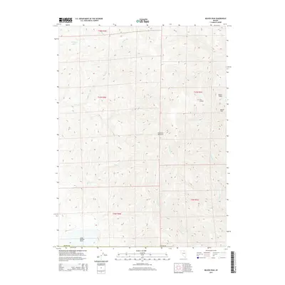
2015 Map of Beaver Peak
USGS Topo · Published 2015About this map
The Tuscarora Mountains dominate this high-desert landscape in northern Nevada, where sharp elevation changes define the local topography. This 2015 survey reveals a terrain carved by numerous seasonal drainages, including the headwaters of Squaw Cr, Boulder Cr, and Bell Cr. The lack of human settlements or improved infrastructure in this area of Elko County highlights the preservation of a wild, open range character.
Find a feature on this map
16 named features on this map. Tap any name to fly to it.
Don’t see what you’re looking for? This feature index may not catch every label — zoom into the map to look around manually.
Map Details
Editions of this 2015 Beaver Peak Map
This is the sole edition of this map. No revisions or reprints were ever made.
Other maps of this area

1955 · McDermitt
USGS Topo · 1:250,000

1955 · Winnemucca
USGS Topo · 1:250,000

1958 · Winnemucca
USGS Topo · 1:250,000

1959 · McDermitt
USGS Topo · 1:250,000

1962 · Winnemucca
USGS Topo · 1:250,000

1968 · Rodeo Creek NE
USGS Topo · 1:24,000

1968 · Swales Mountain NW
USGS Topo · 1:24,000

1968 · Rodeo Creek NW
USGS Topo · 1:24,000

1970 · Sugarloaf Butte
USGS Topo · 1:24,000

1970 · Lake Mountain
USGS Topo · 1:24,000