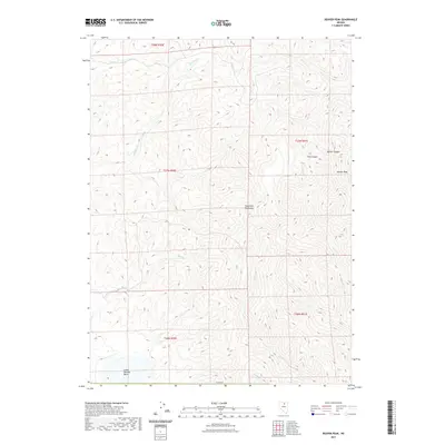
2021 Map of Beaver Peak
USGS Topo · Published 2021About this map
Beaver Peak rises as the dominant landmark within the northern reaches of the Tuscarora Mountains in Elko County. This 2021 survey documents a high-altitude landscape defined by a complex network of drainages and named canyons. High mountain summits drop into the Little Boulder Basin to the south, while numerous seasonal and perennial streams like Squaw Cr and Boulder Cr carve the western slopes.
Find a feature on this map
17 named features on this map. Tap any name to fly to it.
Don’t see what you’re looking for? This feature index may not catch every label — zoom into the map to look around manually.
Map Details
Editions of this 2021 Beaver Peak Map
This is the sole edition of this map. No revisions or reprints were ever made.
Other maps of this area

1955 · McDermitt
USGS Topo · 1:250,000

1955 · Winnemucca
USGS Topo · 1:250,000

1958 · Winnemucca
USGS Topo · 1:250,000

1959 · McDermitt
USGS Topo · 1:250,000

1962 · Winnemucca
USGS Topo · 1:250,000

1968 · Rodeo Creek NE
USGS Topo · 1:24,000

1968 · Swales Mountain NW
USGS Topo · 1:24,000

1968 · Rodeo Creek NW
USGS Topo · 1:24,000

1970 · Sugarloaf Butte
USGS Topo · 1:24,000

1970 · Lake Mountain
USGS Topo · 1:24,000