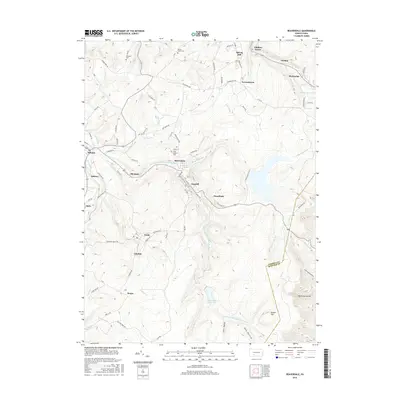
2016 Map of Beaverdale
USGS Topo · Published 2016About this map
The S-Fork Little Conemaugh River carves a path through this part of the Allegheny Plateau, anchoring a dense string of industrial-era settlements including Beaverdale, Lloydell, and Dunlo. This 2016 survey illustrates a landscape deeply shaped by the region's coal and water heritage, where small towns like Llanfair and Onnalinda are tucked between steep ridgelines and creek valleys. Notable infrastructure such as the Beaverdale Reservoir and Portage Reservoir highlights the managed water systems essential to the area's development.
Find a feature on this map
78 named features on this map. Tap any name to fly to it.
Don’t see what you’re looking for? This feature index may not catch every label — zoom into the map to look around manually.
Map Details
Editions of this 2016 Beaverdale Map
This is the sole edition of this map. No revisions or reprints were ever made.
Other maps of this area

1902 · Ebensburg
USGS Topo · 1:62,500

1904 · Ebensburg
USGS Topo · 1:62,500

1904 · Johnstown
USGS Topo · 1:62,500

1907 · Johnstown
USGS Topo · 1:62,500

1908 · Bedford
USGS Topo · 1:62,500

1910 · Bedford
USGS Topo · 1:62,500

1914 · Windber
USGS Topo · 1:62,500

1916 · Windber
USGS Topo · 1:62,500

1944 · Windber
USGS Topo · 1:62,500

1953 · Pittsburgh
USGS Topo · 1:250,000
Featured Places
- Pavia Township, PA
- Martindale, Portage Township
- Puritan, Portage Township
- Beaverdale, Summerhill Township
- Allendale, Adams Township