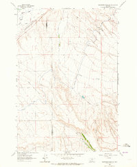
1962 Map of Beaverhead Rock SW
USGS Topo · Published 1964About this map
The Beaverhead Co Madison Co border divides this high-plains landscape, where the management of water dictates the pattern of settlement and agriculture. In the early 1960s, a complex network of irrigation infrastructure served local operations like the Diamond O Ranch, including the East Bench Canal and the Staudher-Bishop Ditch. These man-made watercourses redirect flows across the terrain near Charlton, illustrating the intensive ranching and farming efforts required in this part of Montana. Beyond the ranch lands, the geography is defined by natural drainage systems such as Trout Creek, Stone Creek, and Spring Creek, while a Gravel Pit near the northern boundary indicates the localized extraction of resources for regional road building or ranch maintenance.
Find a feature on this map
16 named features on this map. Tap any name to fly to it.
Don’t see what you’re looking for? This feature index may not catch every label — zoom into the map to look around manually.
Map Details
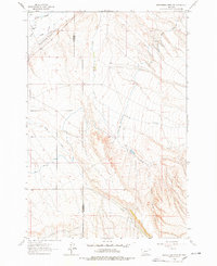
Editions of this 1962 Beaverhead Rock SW Map
2 editions found
Other maps of this area

1893 · Dillon
USGS Topo · 1:250,000

1955 · Dillon
USGS Topo · 1:250,000

1957 · Dillon
USGS Topo · 1:250,000

1958 · Dillon
USGS Topo · 1:250,000

1960 · Block Mountain
USGS Topo · 1:24,000

1961 · Mine Gulch
USGS Topo · 1:24,000

1961 · Glen SE
USGS Topo · 1:24,000

1961 · Christensen Ranch
USGS Topo · 1:24,000

1961 · Beaverhead Rock SE
USGS Topo · 1:24,000

1962 · Dillon
USGS Topo · 1:250,000