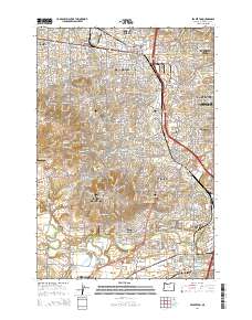
2014 Map of Beaverton
USGS Topo · Published 2014About this map
Bull Mountain and Sexton Mtn overlook a complex suburban landscape where the Tualatin River snakes through the southern reaches of this 2014 survey. The area exhibits a highly integrated transit network, characterized by numerous park-and-ride facilities such as the TriMet WES Commuter Rail Hall / Nimbus Park and Ride and the Seventh Day Adventist Church of Beaverton Park and Ride. This modern layer of infrastructure rests atop older foundations, evidenced by the Patton Cem and Saint Anthonys Cem. Settlement patterns have densified around historic nodes like Beaverton and Tigard, while recreational access is highlighted by riverfront features like the Jurgens City Park Boat Ramp and the Tualatin River Canoe Access. The presence of small aviation sites, including the Flying K Ranch Airport and Meyer Riverside Airpark, reflects the diverse land use of this Portland-area corridor.
Find a feature on this map
88 named features on this map. Tap any name to fly to it.
Don’t see what you’re looking for? This feature index may not catch every label — zoom into the map to look around manually.
Map Details
Editions of this 2014 Beaverton Map
This is the sole edition of this map. No revisions or reprints were ever made.
Other maps of this area

1897 · Portland
USGS Topo · 1:62,500

1905 · Portland
USGS Topo · 1:62,500

1914 · Oregon City
USGS Topo · 1:62,500

1915 · Hillsboro
USGS Topo · 1:62,500

1916 · Tualatin
USGS Topo · 1:62,500

1918 · Hillsboro
USGS Topo · 1:62,500

1939 · Oregon City
USGS Topo · 1:62,500

1939 · Tualatin
USGS Topo · 1:62,500

1940 · Tualatin
USGS Topo · 1:62,500

1940 · Hillsboro
USGS Topo · 1:62,500