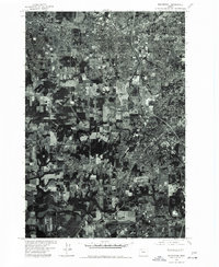
1975 Map of Beaverton
USGS Topo · Published 1977About this map
The growing suburban landscape of Beaverton and its neighboring communities is captured in this orthophotoquad, based on aerial photography from the mid-1970s. This specific type of survey combines the visual detail of an aerial photograph with the geometric accuracy of a topographic map, revealing the intricate patterns of residential expansion and existing agricultural land. The Tualatin River meanders across the southern portion of the sheet, providing a sharp contrast between the densely gridded streets of Tigard and the remaining open fields along the riverbanks. To the northeast, the communities of West Slope and Metzger show the established residential layout that characterized the region during this period of significant development in Washington County.
Find a feature on this map
5 named features on this map. Tap any name to fly to it.
Don’t see what you’re looking for? This feature index may not catch every label — zoom into the map to look around manually.
Map Details
Editions of this 1975 Beaverton Map
This is the sole edition of this map. No revisions or reprints were ever made.
Other maps of this area

1897 · Portland
USGS Topo · 1:62,500

1905 · Portland
USGS Topo · 1:62,500

1914 · Oregon City
USGS Topo · 1:62,500

1915 · Hillsboro
USGS Topo · 1:62,500

1916 · Tualatin
USGS Topo · 1:62,500

1918 · Hillsboro
USGS Topo · 1:62,500

1939 · Oregon City
USGS Topo · 1:62,500

1939 · Tualatin
USGS Topo · 1:62,500

1940 · Tualatin
USGS Topo · 1:62,500

1940 · Hillsboro
USGS Topo · 1:62,500