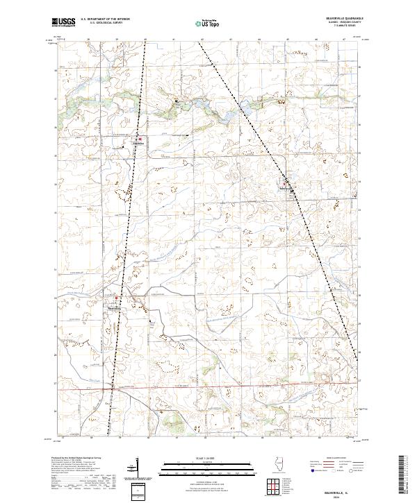
2024 Map of Beaverville
USGS Topo · Published 2024About this map
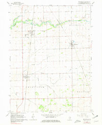
Beaverville and the surrounding Iroquois County landscape are defined by an extensive network of managed waterways, a hallmark of this productive agricultural region. The flat plains are intricately carved by several drainage systems, including the North Martinton Ditch Number 2 and the Main Martinton Ditch Number 3, which support the vast grid of farms surrounding the villages of Papineau and Martinton. This network illustrates the long-standing efforts to tame the wet prairie for cultivation.
Find a feature on this map
69 named features on this map. Tap any name to fly to it.
Don’t see what you’re looking for? This feature index may not catch every label — zoom into the map to look around manually.
Map Details
Editions of this 2024 Beaverville Map
This is the sole edition of this map. No revisions or reprints were ever made.