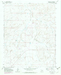
1970 Map of Becenti Lake
USGS Topo · Published 1982About this map
Kim-me-ni-oli Wash and Seven Lakes Wash dominate this arid landscape, carving distinct drainage patterns through the high-desert terrain of McKinley County. Field checked in 1970, the map records a territory marked by sparse infrastructure and significant geological exploration, evidenced by a Drill Hole and an electrical Substation situated near the intersection of these dry watercourses. The presence of Ruins in the northeastern section suggests a long history of human activity in this corner of New Mexico, while Becenti Lake provides a notable hydrologic landmark in an otherwise dry expanse. The 1982 revisions, shown in purple, highlight the ongoing development of the area's utility and road networks, including benchmarks like BM 6621 and various Well sites that supported local livestock or industrial needs.
Find a feature on this map
10 named features on this map. Tap any name to fly to it.
Don’t see what you’re looking for? This feature index may not catch every label — zoom into the map to look around manually.
Map Details
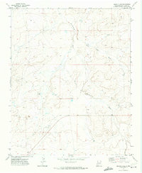
Editions of this 1970 Becenti Lake Map
2 editions found
Other maps of this area

1883 · Mt. Taylor
USGS Topo · 1:250,000

1886 · Wingate
USGS Topo · 1:250,000

1886 · Mt. Taylor
USGS Topo · 1:250,000

1892 · Wingate
USGS Topo · 1:250,000

1892 · Mt. Taylor
USGS Topo · 1:250,000

1899 · Mt. Taylor
USGS Topo · 1:250,000

1954 · Gallup
USGS Topo · 1:250,000

1958 · Gallup
USGS Topo · 1:250,000

1958 · Albuquerque
USGS Topo · 1:250,000

1959 · Gallup
USGS Topo · 1:250,000