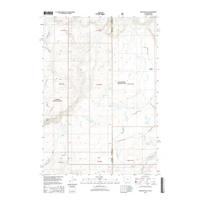
2015 Map of Bechler Falls
USGS Topo · Published 2015About this map
Yellowstone National Park and Targhee National Forest converge at the Idaho-Wyoming border, where a complex network of backcountry trails and water features defines the landscape. The hydrography of the region is particularly dense, featuring the thermal activity of Boundary Creek Hot Springs alongside numerous cascades such as Dunanda Falls, Silver Scarf Falls, and the namesake Bechler Falls on the Bechler River.
Find a feature on this map
48 named features on this map. Tap any name to fly to it.
Don’t see what you’re looking for? This feature index may not catch every label — zoom into the map to look around manually.
Map Details
Editions of this 2015 Bechler Falls Map
This is the sole edition of this map. No revisions or reprints were ever made.
Other maps of this area

1886 · Shoshone
USGS Topo · 1:125,000

1888 · Shoshone
USGS Topo · 1:125,000

1895 · Shoshone
USGS Topo · 1:125,000

1901 · Shoshone
USGS Topo · 1:125,000

1908 · Shoshone
USGS Topo · 1:125,000

1911 · Shoshone
USGS Topo · 1:125,000

1955 · Ashton
USGS Topo · 1:250,000

1956 · Old Faithful
USGS Topo · 1:62,500

1956 · Grassy Lake Reservoir
USGS Topo · 1:62,500

1957 · Warm River Butte
USGS Topo · 1:62,500