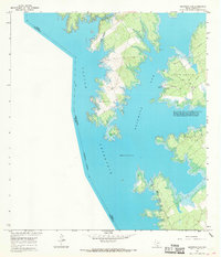
1965 Map of Beckwith Arm
USGS Topo · Published 1968About this map
Falcon Reservoir dominates this landscape, its waters filling the canyons and arroyos along the United States and Mexico border. The map focuses on the Beckwith Arm of the reservoir, a jagged inlet where several recreational facilities such as a Marina and Trailer Camp and a Boat Ramp were established to serve travelers and sportsmen. The jagged shoreline, with its numerous points and coves, was mapped shortly after the reservoir was created, showing areas subject to controlled inundation at a normal pool elevation of 296 feet.
Find a feature on this map
16 named features on this map. Tap any name to fly to it.
Don’t see what you’re looking for? This feature index may not catch every label — zoom into the map to look around manually.
Map Details
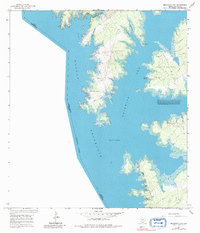
Editions of this 1965 Beckwith Arm Map
2 editions found
Other maps of this area

1938 · Falcon
USGS Topo · 1:62,500

1949 · Mc Allen
USGS Topo · 1:250,000

1954 · McAllen
USGS Topo · 1:250,000

1956 · Zapata
USGS Topo · 1:62,500

1956 · Arroyo Clareno
USGS Topo · 1:62,500

1957 · Mc Allen
USGS Topo · 1:250,000

1962 · McAllen
USGS Topo · 1:250,000

1965 · Salineno
USGS Topo · 1:24,000
1965 · Falcon Village
USGS Topo · 1:24,000

1965 · Lopeno
USGS Topo · 1:24,000