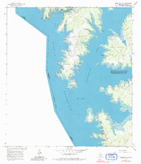
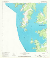
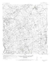
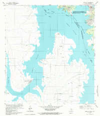
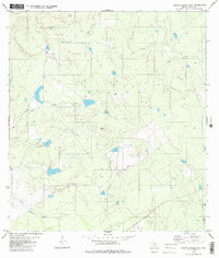
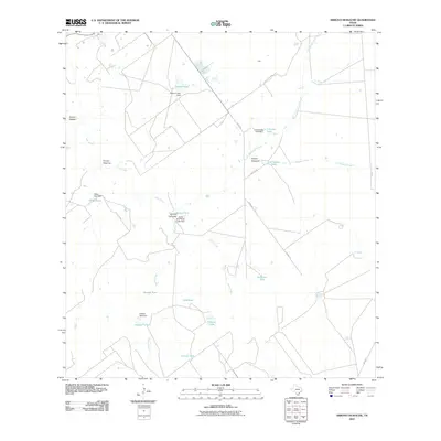
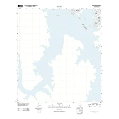
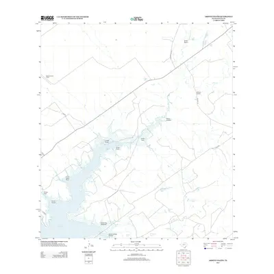
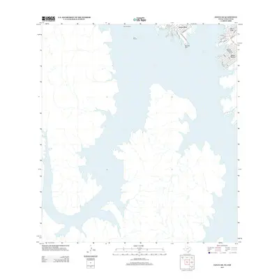
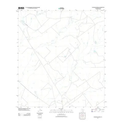
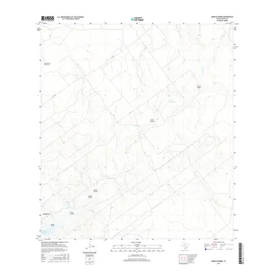
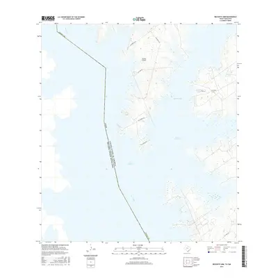
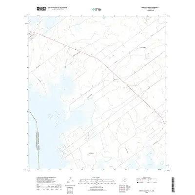
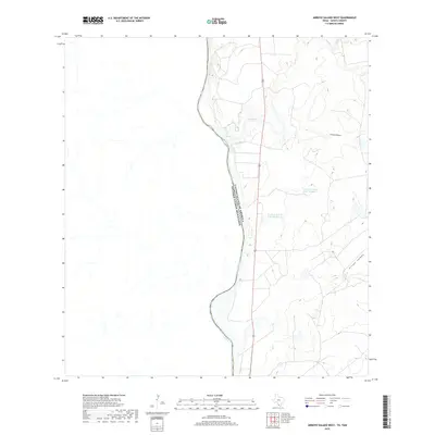
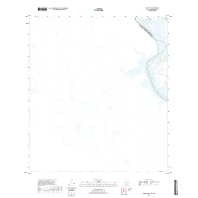
1965 Map of Beckwith Arm
USGS Topo · Published 1982About this map
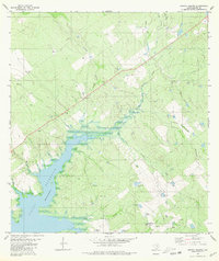
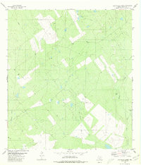
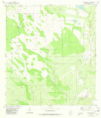
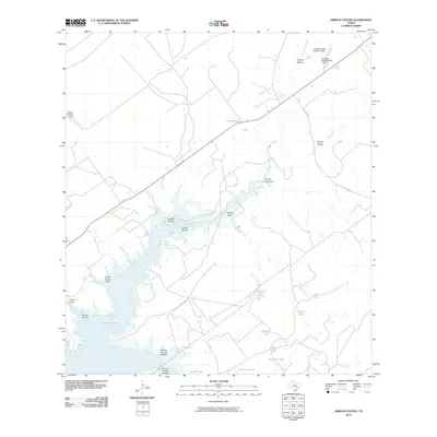
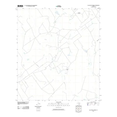
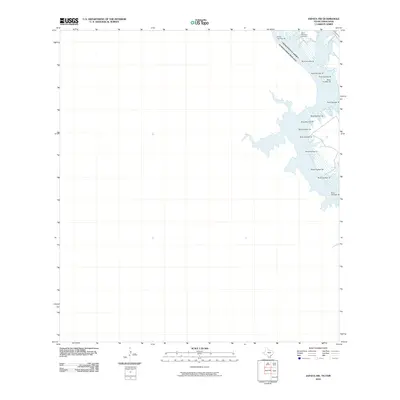
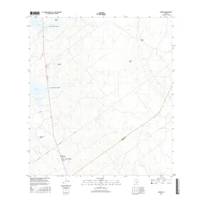
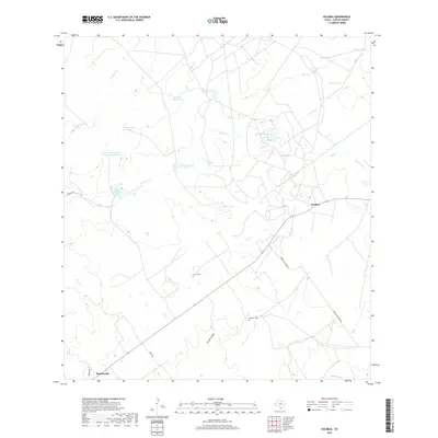
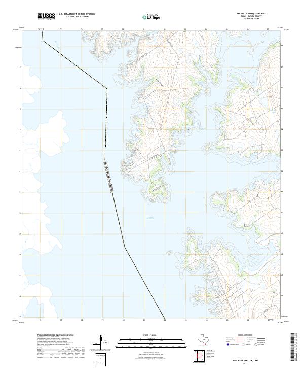
Falcon Reservoir dominates this landscape along the international border between the United States and Mexico. The shoreline of the Beckwith Arm is characterized by intricate inlets and fingers of water where the Arroyo Blanca and Arroyo Calaveras reach the reservoir. This mid-century survey captures the region's energy infrastructure, specifically the Lopeño Gas Field with its network of pipelines, gas wells, and a Pumping Sta. Leisure and utility coexist along the water's edge at the Marina and Trailer Camp, which is supported by a nearby Boat Ramp and a small Landing Strip. The map also includes specific legal notations regarding flowage easements and land ownership between the 307 and 314-foot elevations, reflecting the managed nature of the reservoir's margins.
Find a feature on this map
16 named features on this map. Tap any name to fly to it.
Don’t see what you’re looking for? This feature index may not catch every label — zoom into the map to look around manually.
Map Details
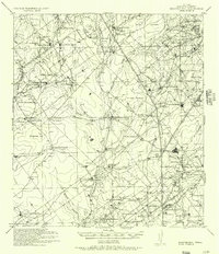
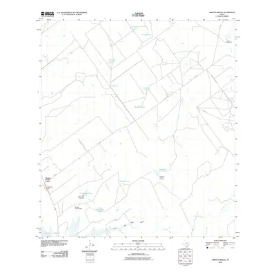
Editions of this 1965 Beckwith Arm Map
2 editions found
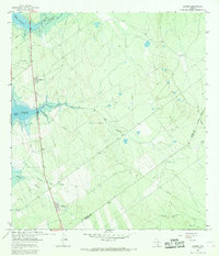
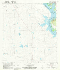
Historical Maps of Zapata County Through Time
92 maps found
1938 Falcon
Zapata County, TX
1940 Mogotes Hill
Zapata County, TX
1956 Arroyo Clareno
Zapata County, TX
1956 Mogotes Hill
Zapata County, TX
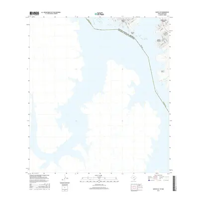
1965 Beckwith Arm
Zapata County, TX
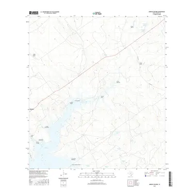
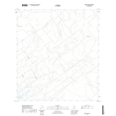
1965 Lopeno
Zapata County, TX
1979 Zapata NW
Zapata County, TX
1979 Zapata SE
Zapata County, TX
1980 Arroyo Burro
Zapata County, TX
1980 Arroyo Huisache
Zapata County, TX
1980 Arroyo Miguel
Zapata County, TX
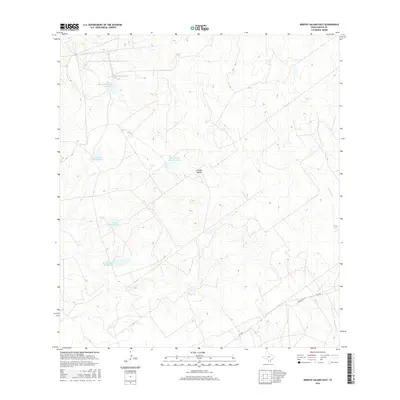
1980 Arroyo Salado East
Zapata County, TX
1980 Arroyo Veleno
Zapata County, TX
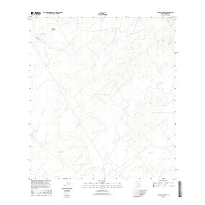
1980 Chargos Creek
Zapata County, TX
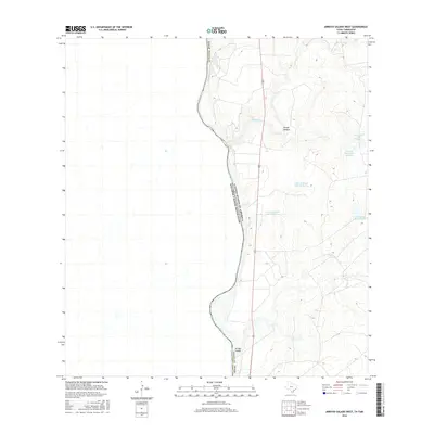
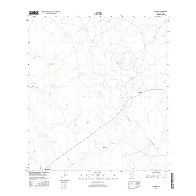
1980 Escobas
Zapata County, TX
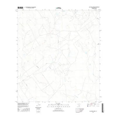
1980 Las Ovejas Creek
Zapata County, TX
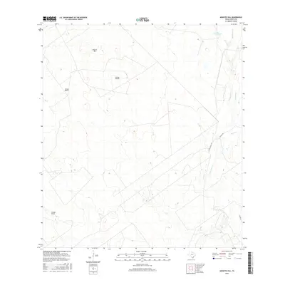
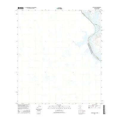
1980 Mogotes Hill
Zapata County, TX
2010 Arroyo Burro
Zapata County, TX
2010 Arroyo Clareno
Zapata County, TX
2010 Arroyo Huisache
Zapata County, TX
2010 Arroyo Miguel
Zapata County, TX
2010 Arroyo Salado East
Zapata County, TX
2010 Arroyo Salado West
Zapata County, TX
2010 Arroyo Veleno
Zapata County, TX
2010 Beckwith Arm
Zapata County, TX
2010 Chargos Creek
Zapata County, TX
2010 Escobas
Zapata County, TX
2010 Las Ovejas Creek
Zapata County, TX
2010 Lopeno
Zapata County, TX
2010 Mogotes Hill
Zapata County, TX
2010 Zapata NW
Zapata County, TX
2010 Zapata SE
Zapata County, TX
2012 Arroyo Clareno
Zapata County, TX
2012 Arroyo Huisache
Zapata County, TX
2012 Arroyo Miguel
Zapata County, TX
2012 Arroyo Veleno
Zapata County, TX
2012 Beckwith Arm
Zapata County, TX
2012 Lopeno
Zapata County, TX
2012 Zapata NW
Zapata County, TX
2012 Zapata SE
Zapata County, TX
2013 Arroyo Burro
Zapata County, TX
2013 Arroyo Salado East
Zapata County, TX
2013 Arroyo Salado West
Zapata County, TX
2013 Chargos Creek
Zapata County, TX
2013 Escobas
Zapata County, TX
2013 Las Ovejas Creek
Zapata County, TX
2013 Mogotes Hill
Zapata County, TX
2016 Arroyo Burro
Zapata County, TX
2016 Arroyo Clareno
Zapata County, TX
2016 Arroyo Huisache
Zapata County, TX
2016 Arroyo Miguel
Zapata County, TX
2016 Arroyo Salado East
Zapata County, TX
2016 Arroyo Salado West
Zapata County, TX
2016 Arroyo Veleno
Zapata County, TX
2016 Beckwith Arm
Zapata County, TX
2016 Chargos Creek
Zapata County, TX
2016 Escobas
Zapata County, TX
2016 Las Ovejas Creek
Zapata County, TX
2016 Lopeno
Zapata County, TX
2016 Mogotes Hill
Zapata County, TX
2016 Zapata NW
Zapata County, TX
2016 Zapata SE
Zapata County, TX
2019 Arroyo Burro
Zapata County, TX
2019 Arroyo Clareno
Zapata County, TX
2019 Arroyo Huisache
Zapata County, TX
2019 Arroyo Miguel
Zapata County, TX
2019 Arroyo Salado East
Zapata County, TX
2019 Arroyo Salado West
Zapata County, TX
2019 Arroyo Veleno
Zapata County, TX
2019 Beckwith Arm
Zapata County, TX
2019 Chargos Creek
Zapata County, TX
2019 Escobas
Zapata County, TX
2019 Las Ovejas Creek
Zapata County, TX
2019 Lopeno
Zapata County, TX
2019 Mogotes Hill
Zapata County, TX
2019 Zapata NW
Zapata County, TX
2019 Zapata SE
Zapata County, TX
2022 Arroyo Burro
Zapata County, TX
2022 Arroyo Clareno
Zapata County, TX
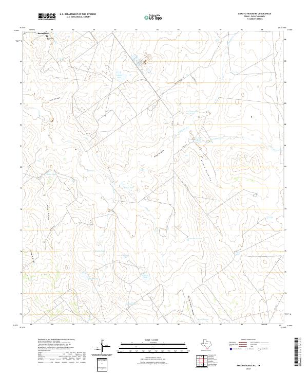
2022 Arroyo Huisache
Zapata County, TX
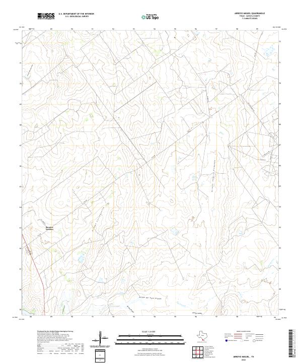
2022 Arroyo Miguel
Zapata County, TX
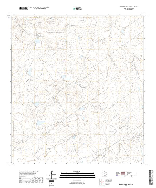
2022 Arroyo Salado East
Zapata County, TX
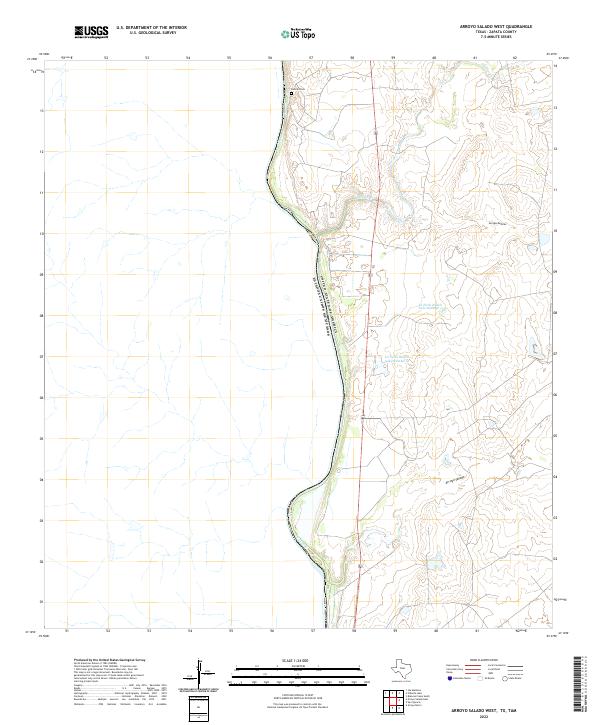
2022 Arroyo Salado West
Zapata County, TX

2022 Arroyo Veleno
Zapata County, TX
2022 Beckwith Arm
Zapata County, TX
2022 Chargos Creek
Zapata County, TX
2022 Escobas
Zapata County, TX
2022 Las Ovejas Creek
Zapata County, TX
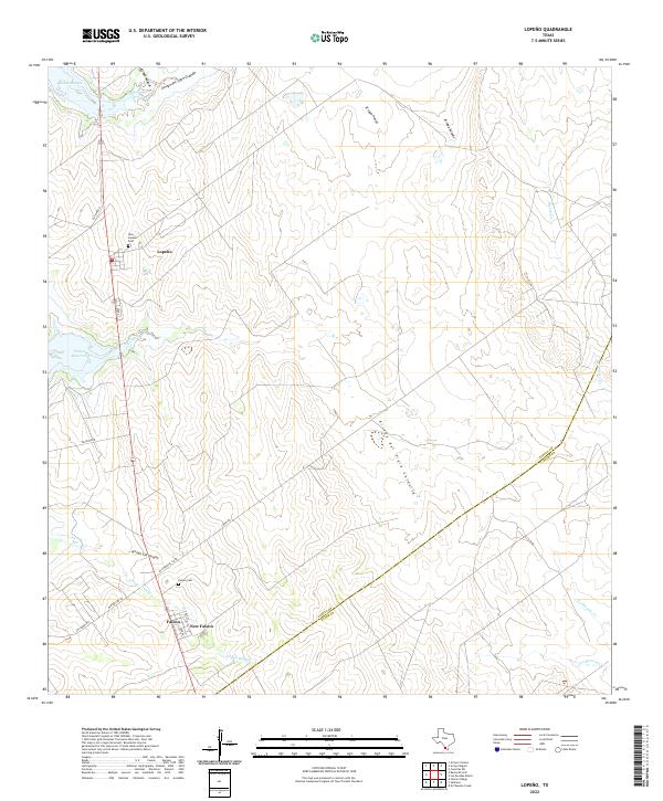
2022 Lopeno
Zapata County, TX
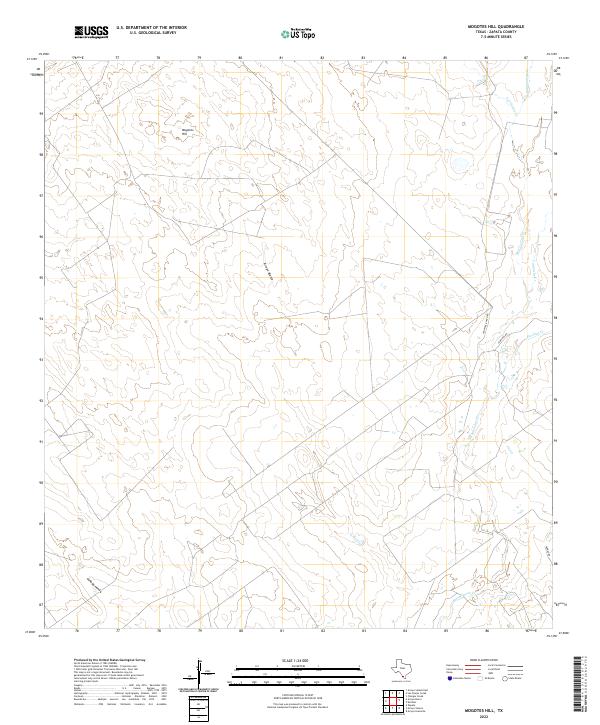
2022 Mogotes Hill
Zapata County, TX
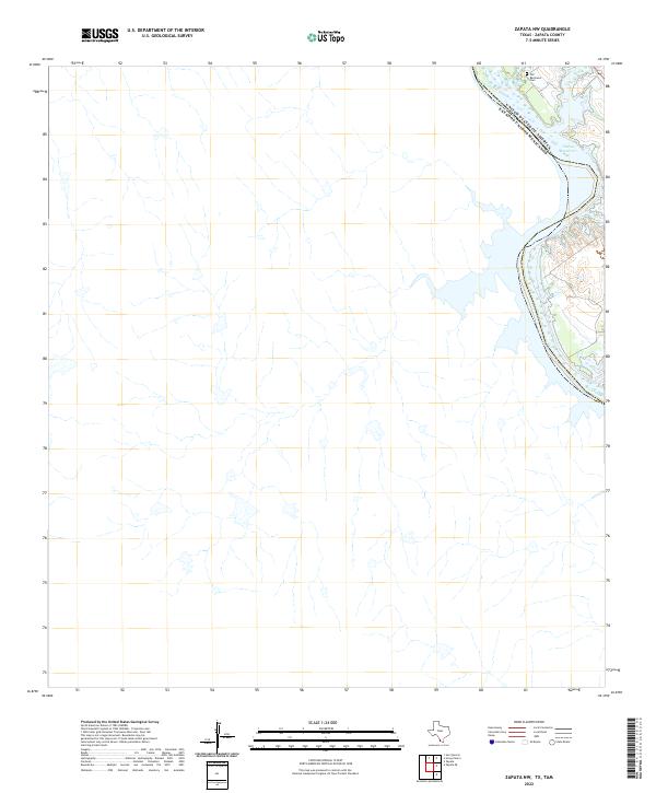
2022 Zapata NW
Zapata County, TX
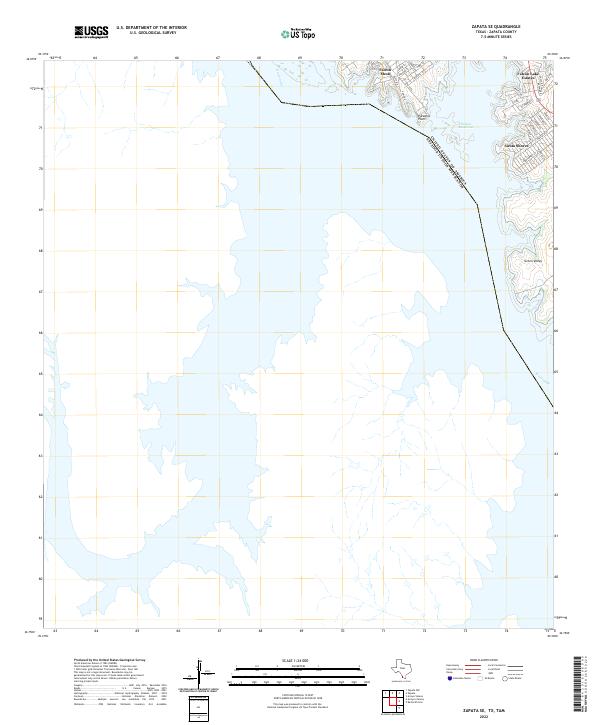
2022 Zapata SE
Zapata County, TX