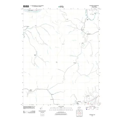
2011 Map of Beckwith
USGS Topo · Published 2011About this map
Cotton Hill rises above the confluence of the Kanawha River and Lee Branch, anchoring a landscape defined by deep-cut stream valleys and the coal-country settlements of Fayette County. The map details the complex drainage patterns of the Mulberry Fork and Laurel Creek, where small communities like Robson and Beckwith developed along narrow corridors. Transport and utility infrastructure are central to this area's identity, evidenced by the Norfolk and Western Railway corridor and the Gauley Junction Dam to the northeast. Genealogy researchers will find the Robson Cemetery and numerous family-named landmarks such as Ford Knob and Big Rock. The distribution of towns like Lochgelly, Summerlee, and Wriston reflects the industrial footprint of the region, while the presence of the Camp Beckwith 4-H Camp points to the area's long-standing community recreational ties.
Find a feature on this map
59 named features on this map. Tap any name to fly to it.
Don’t see what you’re looking for? This feature index may not catch every label — zoom into the map to look around manually.
Map Details
Editions of this 2011 Beckwith Map
This is the sole edition of this map. No revisions or reprints were ever made.
Other maps of this area

1891 · Raleigh
USGS Topo · 1:125,000

1897 · Kanawha Falls
USGS Topo · 1:125,000

1897 · Raleigh
USGS Topo · 1:125,000

1900 · Kanawha Falls
USGS Topo · 1:125,000

1901 · Kanawha Falls
USGS Topo · 1:125,000

1902 · Raleigh
USGS Topo · 1:125,000

1908 · Fayetteville
USGS Topo · 1:48,000

1908 · Montgomery
USGS Topo · 1:48,000

1910 · Fayetteville
USGS Topo · 1:62,500

1910 · Montgomery
USGS Topo · 1:62,500