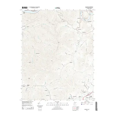
2014 Map of Beckwith
USGS Topo · Published 2014About this map
Cotton Hill rises sharply above the convergence of the New River and Kanawha River, anchoring a landscape defined by narrow hollows and high ridges in the heart of West Virginia’s Fayette County. The industrial legacy of the region is evident in place names like Cokeoven Hollow and the presence of the Norfolk and Western Railway winding through the southern portion of the quadrangle. Small settlements such as Beards Fork, Wriston, and Robson are tucked into the valleys along waterways like Loop Creek and the Mulberry Fork. Local genealogy is preserved in several rural burial grounds, including the Robson Cemetery and Abbot Cemetery. The mapping shows the transition from the river-level industry at Deep Water to the plateau settlements of Fayetteville and Oak Hill, illustrating how the steep terrain has dictated the growth of communities and transportation corridors like the Mountaineer Expressway.
Find a feature on this map
105 named features on this map. Tap any name to fly to it.
Don’t see what you’re looking for? This feature index may not catch every label — zoom into the map to look around manually.
Map Details
Editions of this 2014 Beckwith Map
This is the sole edition of this map. No revisions or reprints were ever made.
Other maps of this area

1891 · Raleigh
USGS Topo · 1:125,000

1897 · Kanawha Falls
USGS Topo · 1:125,000

1897 · Raleigh
USGS Topo · 1:125,000

1900 · Kanawha Falls
USGS Topo · 1:125,000

1901 · Kanawha Falls
USGS Topo · 1:125,000

1902 · Raleigh
USGS Topo · 1:125,000

1908 · Fayetteville
USGS Topo · 1:48,000

1908 · Montgomery
USGS Topo · 1:48,000

1910 · Fayetteville
USGS Topo · 1:62,500

1910 · Montgomery
USGS Topo · 1:62,500