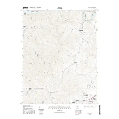
2016 Map of Beckwith
USGS Topo · Published 2016About this map
Oak Hill and its northern neighbors define the industrial and residential landscape of Fayette County in this recent survey. The terrain is deeply incised by the Mulberry Fork and Beards Fork, where small settlements like Beards Fork and Robson are tucked into the narrow valley floors. Transportation routes such as the Midland Trl and Co Rte 13 connect the higher plateaus and ridge-top communities like Ansted and Fayetteville to the river valleys below.
Find a feature on this map
107 named features on this map. Tap any name to fly to it.
Don’t see what you’re looking for? This feature index may not catch every label — zoom into the map to look around manually.
Map Details
Editions of this 2016 Beckwith Map
This is the sole edition of this map. No revisions or reprints were ever made.
Other maps of this area

1891 · Raleigh
USGS Topo · 1:125,000

1897 · Kanawha Falls
USGS Topo · 1:125,000

1897 · Raleigh
USGS Topo · 1:125,000

1900 · Kanawha Falls
USGS Topo · 1:125,000

1901 · Kanawha Falls
USGS Topo · 1:125,000

1902 · Raleigh
USGS Topo · 1:125,000

1908 · Fayetteville
USGS Topo · 1:48,000

1908 · Montgomery
USGS Topo · 1:48,000

1910 · Fayetteville
USGS Topo · 1:62,500

1910 · Montgomery
USGS Topo · 1:62,500