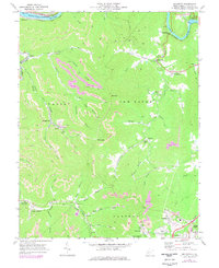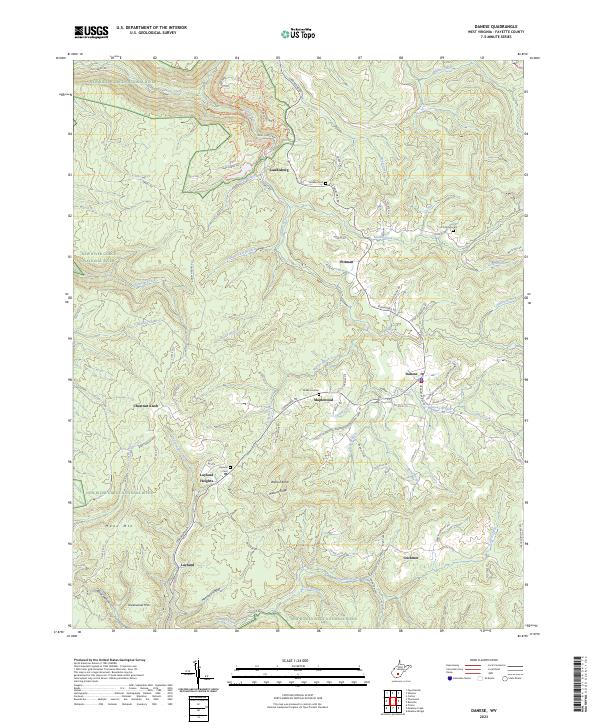
2023 Map of Beckwith
USGS Topo · Published 2023About this map
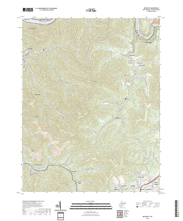
The New River Gorge National River defines the northeastern corner of this West Virginia landscape, where the New River carves through the plateau near Fayetteville. The region's industrial heritage is evident in topographic features like Cokeoven Hollow and the active paths of the Norfolk and Western Railway, which skirts the southern settlements. This area serves as a transition between the northern Kanawha River drainage and the upland plateau occupied by larger communities like Oak Hill and Lochgelly.
Find a feature on this map
98 named features on this map. Tap any name to fly to it.
Don’t see what you’re looking for? This feature index may not catch every label — zoom into the map to look around manually.
Map Details
Editions of this 2023 Beckwith Map
This is the sole edition of this map. No revisions or reprints were ever made.
Historical Maps of Youngstown Through Time
9 maps found