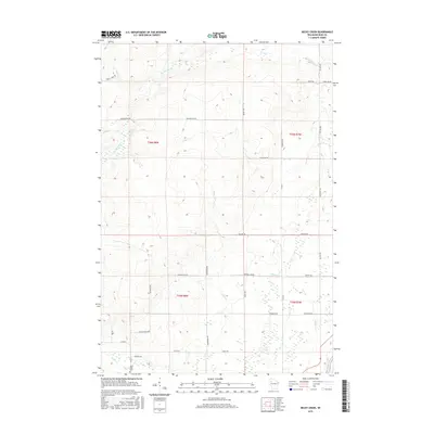
2015 Map of Becky Creek
USGS Topo · Published 2015About this map
Becky Creek and Big Weirgor Cr dominate this rural Rusk County landscape, carving through a region defined by its dense network of forest roads and intermittent wetlands. The 2015 data illustrates a transitional topography where timber and water resources have shaped local travel, evidenced by routes like Serley Camp Trl and Meadow Dam Rd. In the southwestern corner, the Blue Hills Cem near Devils Cr serves as a quiet marker of the area's residents. The map captures the meeting of several townships, including t36n r8w and t35n r7w, as they converge near the Chippewa River. Local landownership and family history are reflected in the numerous named thoroughfares such as Bihlmeyer Rd, Tatro Rd, and Christianson Rd, which grid the terrain between smaller tributaries like Clear Cr and Alder Cr.
Find a feature on this map
39 named features on this map. Tap any name to fly to it.
Don’t see what you’re looking for? This feature index may not catch every label — zoom into the map to look around manually.
Map Details
Editions of this 2015 Becky Creek Map
This is the sole edition of this map. No revisions or reprints were ever made.
Other maps of this area

1944 · Exeland
USGS Topo · 1:48,000

1945 · Meteor
USGS Topo · 1:48,000

1947 · Exeland
USGS Topo · 1:48,000

1948 · Weyerhauser
USGS Topo · 1:48,000

1948 · Ladysmith
USGS Topo · 1:48,000

1949 · Meteor
USGS Topo · 1:48,000

1950 · Weyerhauser
USGS Topo · 1:48,000

1950 · Ladysmith
USGS Topo · 1:48,000

1953 · Rice Lake
USGS Topo · 1:250,000

1959 · Rice Lake
USGS Topo · 1:250,000