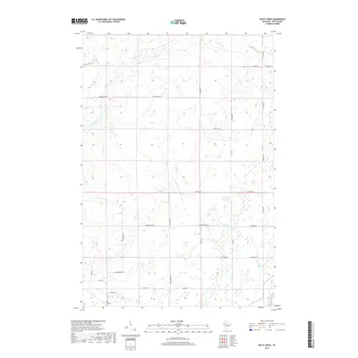
2018 Map of Becky Creek
USGS Topo · Published 2018About this map
Big Weirgor Cr and Becky Cr define the intricate drainage network of this Rusk County landscape, where numerous tributaries feed toward the Chippewa River in the southeastern corner. This area is characterized by a sparse, grid-like road network named for local families and landmarks, such as Bihlmeyer Rd, Tatro Rd, and Dearhamer Rd. The presence of the Blue Hills Cem near the southern boundary provides a specific point of interest for genealogists tracing family roots in this rural township. Other water features like Clear Cr, Alder Cr, and Devils Cr crisscross the terrain, while Serley Camp Trl suggests the historical importance of seasonal camps and timber access in northern Wisconsin.
Find a feature on this map
33 named features on this map. Tap any name to fly to it.
Don’t see what you’re looking for? This feature index may not catch every label — zoom into the map to look around manually.
Map Details
Editions of this 2018 Becky Creek Map
This is the sole edition of this map. No revisions or reprints were ever made.
Other maps of this area

1944 · Exeland
USGS Topo · 1:48,000

1945 · Meteor
USGS Topo · 1:48,000

1947 · Exeland
USGS Topo · 1:48,000

1948 · Weyerhauser
USGS Topo · 1:48,000

1948 · Ladysmith
USGS Topo · 1:48,000

1949 · Meteor
USGS Topo · 1:48,000

1950 · Weyerhauser
USGS Topo · 1:48,000

1950 · Ladysmith
USGS Topo · 1:48,000

1953 · Rice Lake
USGS Topo · 1:250,000

1959 · Rice Lake
USGS Topo · 1:250,000