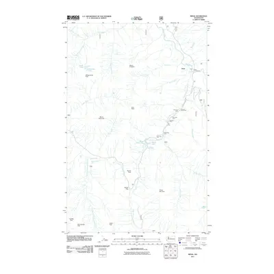
2011 Map of Bedal
USGS Topo · Published 2011About this map
The Mountain Loop Hwy serves as the primary artery through this alpine corridor, following the Sauk River and its south fork into the heart of the Cascade mountains. The settlement of Bedal sits at a critical junction near the Bedal Campground, where the drainage of Bedal Creek meets the main river valley. This landscape is defined by its recreation and early industry, evidenced by the high concentration of seasonal camps such as Mill Camp, Tyee Pool Camp, and White Deer Camp scattered along the South Fork Sauk River.
Find a feature on this map
44 named features on this map. Tap any name to fly to it.
Don’t see what you’re looking for? This feature index may not catch every label — zoom into the map to look around manually.
Map Details
Editions of this 2011 Bedal Map
This is the sole edition of this map. No revisions or reprints were ever made.
Other maps of this area

1899 · Glacier Peak
USGS Topo · 1:125,000

1899 · Stillaguamish
USGS Topo · 1:125,000

1901 · Glacier Peak
USGS Topo · 1:125,000

1901 · Stilaguamish
USGS Topo · 1:125,000

1902 · Skykomish
USGS Topo · 1:125,000

1905 · Skykomish
USGS Topo · 1:125,000

1921 · Sultan
USGS Topo · 1:125,000

1923 · Sultan
USGS Topo · 1:125,000

1955 · Concrete
USGS Topo · 1:250,000

1957 · Silverton
USGS Topo · 1:62,500