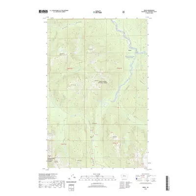
2020 Map of Bedal
USGS Topo · Published 2020About this map
Bedal serves as a focal point in this mountainous region of Snohomish County, where the Skagit Wild and Scenic River and S Fork Sauk River flow through the protected landscapes of the Mount Baker National Forest and Snoqualmie National Forest. The map documents a rugged topography defined by prominent summits such as Mt Forgotten, Stillaguamish Peak, and Mt Dickerman.
Find a feature on this map
60 named features on this map. Tap any name to fly to it.
Don’t see what you’re looking for? This feature index may not catch every label — zoom into the map to look around manually.
Map Details
Editions of this 2020 Bedal Map
This is the sole edition of this map. No revisions or reprints were ever made.
Other maps of this area

1899 · Glacier Peak
USGS Topo · 1:125,000

1899 · Stillaguamish
USGS Topo · 1:125,000

1901 · Glacier Peak
USGS Topo · 1:125,000

1901 · Stilaguamish
USGS Topo · 1:125,000

1902 · Skykomish
USGS Topo · 1:125,000

1905 · Skykomish
USGS Topo · 1:125,000

1921 · Sultan
USGS Topo · 1:125,000

1923 · Sultan
USGS Topo · 1:125,000

1955 · Concrete
USGS Topo · 1:250,000

1957 · Silverton
USGS Topo · 1:62,500