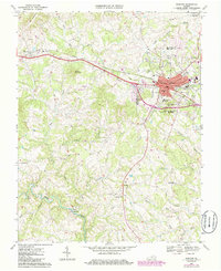
1967 Map of Bedford
USGS Topo · Published 1986About this map
Bedford serves as a central hub in this late 1960s landscape, where the Norfolk and Western railroad corridor dictates the path of industrial and residential growth. This survey, updated with mid-1980s data, illustrates the transition from the concentrated urban core near the Courthouse and Armory to the more rural, creek-carved surroundings. Community infrastructure is well-defined, ranging from the Susie Gibson High Sch and County Memorial Hospital to smaller outlying settlements like Thaxton and Joppa Mill.
Find a feature on this map
49 named features on this map. Tap any name to fly to it.
Don’t see what you’re looking for? This feature index may not catch every label — zoom into the map to look around manually.
Map Details
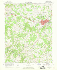
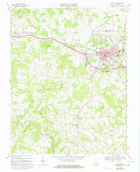
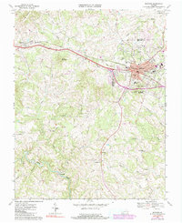
Editions of this 1967 Bedford Map
4 editions found
Other maps of this area

1890 · Roanoke
USGS Topo · 1:125,000

1891 · Roanoke
USGS Topo · 1:125,000

1892 · Lynchburg
USGS Topo · 1:125,000

1947 · Roanoke
USGS Topo · 1:250,000

1950 · Goode
USGS Topo · 1:62,500

1950 · Peaks of Otter
USGS Topo · 1:62,500

1951 · Moneta
USGS Topo · 1:62,500

1951 · Altavista
USGS Topo · 1:62,500

1959 · Roanoke
USGS Topo · 1:250,000

1963 · Roanoke
USGS Topo · 1:250,000