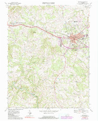
1967 Map of Bedford
USGS Topo · Published 1991About this map
The Bedford city center serves as the primary hub of this 1967 survey, where the Norfolk and Western railway and major civic infrastructure like the Courthouse and County Memorial Hospital anchor the community. The map illustrates a landscape transitioning from the urban density of the county seat to the agricultural and mill-driven economy of the surrounding countryside. Key landmarks such as the Susie Gibson High Sch and the Armory reflect the mid-century institutional growth of the area.
Find a feature on this map
41 named features on this map. Tap any name to fly to it.
Don’t see what you’re looking for? This feature index may not catch every label — zoom into the map to look around manually.
Map Details
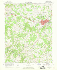
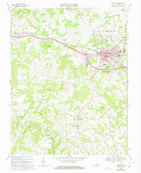
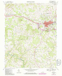
Editions of this 1967 Bedford Map
4 editions found
Other maps of this area

1890 · Roanoke
USGS Topo · 1:125,000

1891 · Roanoke
USGS Topo · 1:125,000

1892 · Lynchburg
USGS Topo · 1:125,000

1947 · Roanoke
USGS Topo · 1:250,000

1950 · Goode
USGS Topo · 1:62,500

1950 · Peaks of Otter
USGS Topo · 1:62,500

1951 · Moneta
USGS Topo · 1:62,500

1951 · Altavista
USGS Topo · 1:62,500

1959 · Roanoke
USGS Topo · 1:250,000

1963 · Roanoke
USGS Topo · 1:250,000