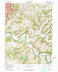
1978 Map of Bedford East
USGS Topo · Published 1979About this map
The East Fork White River carves a winding path through this Lawrence County landscape, defining the industrial and agricultural geography of the late 1970s. The city of Bedford serves as a significant hub in the northwest, where the Chicago Milwaukee St Paul and Pacific Railroad and the Louisville and Nashville Railroad intersect near the courthouse and City Hall. Beyond the urban core, the map reveals a deeply etched topography drained by Leatherwood Creek and Guthrie Creek, leading to smaller rural settlements like Buddha, Rabbitville, and Rivervale. Notable local landmarks include the Virgil I Grissom Municipal Airport and several historic burial grounds such as Madden Cem and Ikerd Cem. Extensive quarry operations south of Englewood point to the region's long-standing stone industry, which shaped the development of nearby Woodville and Lawrenceport.
Find a feature on this map
67 named features on this map. Tap any name to fly to it.
Don’t see what you’re looking for? This feature index may not catch every label — zoom into the map to look around manually.
Map Details
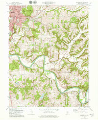
Editions of this 1978 Bedford East Map
2 editions found
Other maps of this area

1934 · Bedford
USGS Topo · 1:48,000

1935 · Oolitic
USGS Topo · 1:48,000

1937 · Bedford
USGS Topo · 1:62,500

1942 · Oolitic
USGS Topo · 1:62,500

1949 · Georgia
USGS Topo · 1:24,000

1950 · Mitchell
USGS Topo · 1:24,000

1951 · Georgia
USGS Topo · 1:24,000

1956 · Vincennes
USGS Topo · 1:250,000

1957 · Vincennes
USGS Topo · 1:250,000
1957 · Oolitic
USGS Topo · 1:24,000