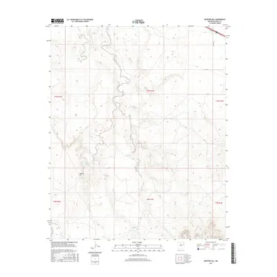
2017 Map of Bedford Hill
USGS Topo · Published 2017About this map
Bedford Hill rises as a prominent landmark in this northeastern New Mexico landscape, which is defined by the winding course of Revuelto Creek and its many tributaries. This 2017 survey shows a region deeply tied to its water sources and historical transport routes, with Bedford Spring and Joe Keyes Tank providing vital points in an arid environment. The map captures the intersection of traditional land use and modern infrastructure, where the legacy of the mother road, Rte 66, cuts across the northern edge of the terrain near Quay Road U. Arroyos and seasonal drainages such as San Jon Cr and Saladito Cr carve through the sections, illustrating the drainage patterns that have shaped ranching and travel in Quay County for generations.
Find a feature on this map
20 named features on this map. Tap any name to fly to it.
Don’t see what you’re looking for? This feature index may not catch every label — zoom into the map to look around manually.
Map Details
Editions of this 2017 Bedford Hill Map
This is the sole edition of this map. No revisions or reprints were ever made.
Other maps of this area

1930 · Tucumcari
USGS Topo · 1:125,000

1954 · Tucumcari
USGS Topo · 1:250,000

1954 · Clovis
USGS Topo · 1:250,000

1958 · Clovis
USGS Topo · 1:250,000

1958 · Tucumcari
USGS Topo · 1:250,000

1968 · Porter
USGS Topo · 1:24,000

1968 · San Jon
USGS Topo · 1:24,000

1968 · San Jon NW
USGS Topo · 1:24,000

1968 · Lesbia
USGS Topo · 1:24,000

1968 · Bedford Hill
USGS Topo · 1:24,000