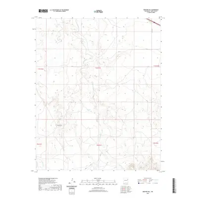
2020 Map of Bedford Hill
USGS Topo · Published 2020About this map
Bedford Hill rises as a prominent landmark in this section of Quay County, where the high plains terrain is carved by a network of seasonal watercourses. The drainage patterns are dominated by Revuelto Creek and its various branches, including San Jon Cr and Saladito Cr, illustrating the complex erosion of the eastern New Mexico landscape. The presence of Bedford Spring and Joe Keyes Tank highlights the critical importance of water management and natural springs for ranching operations in this arid environment. Transportation through the northern reaches of the quadrangle is anchored by the presence of Rte 66, reflecting the enduring alignment of this iconic western corridor alongside local routes like Quay Road U.
Find a feature on this map
20 named features on this map. Tap any name to fly to it.
Don’t see what you’re looking for? This feature index may not catch every label — zoom into the map to look around manually.
Map Details
Editions of this 2020 Bedford Hill Map
This is the sole edition of this map. No revisions or reprints were ever made.
Other maps of this area

1930 · Tucumcari
USGS Topo · 1:125,000

1954 · Tucumcari
USGS Topo · 1:250,000

1954 · Clovis
USGS Topo · 1:250,000

1958 · Clovis
USGS Topo · 1:250,000

1958 · Tucumcari
USGS Topo · 1:250,000

1968 · Porter
USGS Topo · 1:24,000

1968 · San Jon
USGS Topo · 1:24,000

1968 · San Jon NW
USGS Topo · 1:24,000

1968 · Lesbia
USGS Topo · 1:24,000

1968 · Bedford Hill
USGS Topo · 1:24,000