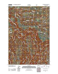
2011 Map of Bedford Point
USGS Topo · Published 2011About this map
The Clackamas River and its numerous tributaries dominate this 2011 survey of the Mount Hood National Forest region in Oregon. This landscape is defined by its water management and forestry infrastructure, notably featuring the South Fork Water Board Intake and several established campsites such as Hesperin Camp and North Fork Crossing Forest Camp. The small settlement of Memaloose sits near the confluence of Memaloose Creek and the main river, serving as a focal point for a network of forest service roads including NFD 4614 RD and Abbott RD. High points like Bedford Point, which once hosted the Bedford Point Lookout, provide a perspective over the surrounding drainage basins of Bee Creek and Bedford Creek. The terrain's character is further marked by distinct geological features such as Big Cliff and Mongrel Ridge, illustrating the steep and varied topography that characterizes the Clackamas River corridor.
Find a feature on this map
36 named features on this map. Tap any name to fly to it.
Don’t see what you’re looking for? This feature index may not catch every label — zoom into the map to look around manually.
Map Details
Editions of this 2011 Bedford Point Map
This is the sole edition of this map. No revisions or reprints were ever made.
Other maps of this area

1911 · Boring
USGS Topo · 1:48,000

1914 · Boring
USGS Topo · 1:62,500

1916 · Estacada
USGS Topo · 1:125,000

1940 · Boring
USGS Topo · 1:62,500

1948 · Vancouver
USGS Topo · 1:250,000

1950 · Vancouver
USGS Topo · 1:250,000

1950 · Vancouver
USGS Topo · 1:250,000
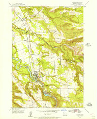
1954 · Estacada
USGS Topo · 1:24,000

1955 · Colton
USGS Topo · 1:62,500

1955 · Cherryville
USGS Topo · 1:62,500