
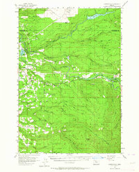
1955 Map of Cherryville
USGS Topo · Published 1957About this map
The Devils Backbone ridge separates the waters of the Bull Run River and the Sandy River in this mid-century look at the foothills of the Cascades. Much of the eastern portion is dedicated to the Mount Hood National Forest, where fire lookouts like Walker Peak Lookout and Eagle Creek Lookout stand watch over a dense network of drainages including North Fork Eagle Creek and South Fork Bull Run River. The map captures the infrastructure of the regional water supply, notably the Bull Run Reservoir and the Little Sandy River diversion works.
Find a feature on this map
68 named features on this map. Tap any name to fly to it.
Don’t see what you’re looking for? This feature index may not catch every label — zoom into the map to look around manually.
Map Details
Editions of this 1955 Cherryville Map
3 editions found
Other maps of this area

1911 · Boring
USGS Topo · 1:48,000

1914 · Boring
USGS Topo · 1:62,500

1916 · Estacada
USGS Topo · 1:125,000

1918 · Troutdale
USGS Topo · 1:62,500

1924 · Mount Hood
USGS Topo · 1:125,000

1926 · Hood River
USGS Topo · 1:125,000

1927 · Mount Hood
USGS Topo · 1:125,000

1929 · Hood River
USGS Topo · 1:125,000

1934 · Troutdale
USGS Topo · 1:48,000

1940 · Boring
USGS Topo · 1:62,500