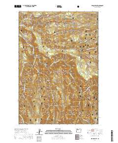
2020 Map of Bedford Point
USGS Topo · Published 2020About this map
Bedford Point overlooks a complex hydrological landscape within the Mount Hood National Forest where the North Fork Clackamas River and its numerous tributaries converge. The area is defined by its designated preservation status, containing significant reaches of the Clackamas Wild and Scenic River, as well as the South Fork Clackamas and Fish Creek Wild and Scenic Rivers. Modern access is primarily facilitated by Oregon St Highway 224, which follows the river corridor, and a network of forest roads like Ladee 803 and Ladee 800. Higher elevations feature prominent landmarks such as Big Cliff and the Fish Creek Divide, while the La Dee Flat area provides a contrast to the steeper slopes. Small water bodies like Small Fry Lake and seasonal sources such as Hillsbury Spring dot the landscape, which is characterized by the confluence of Memaloose and Cullus creeks in the southern portion of the quadrangle.
Find a feature on this map
43 named features on this map. Tap any name to fly to it.
Don’t see what you’re looking for? This feature index may not catch every label — zoom into the map to look around manually.
Map Details
Editions of this 2020 Bedford Point Map
This is the sole edition of this map. No revisions or reprints were ever made.
Other maps of this area

1911 · Boring
USGS Topo · 1:48,000

1914 · Boring
USGS Topo · 1:62,500

1916 · Estacada
USGS Topo · 1:125,000

1940 · Boring
USGS Topo · 1:62,500

1948 · Vancouver
USGS Topo · 1:250,000

1950 · Vancouver
USGS Topo · 1:250,000

1950 · Vancouver
USGS Topo · 1:250,000
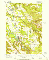
1954 · Estacada
USGS Topo · 1:24,000

1955 · Colton
USGS Topo · 1:62,500

1955 · Cherryville
USGS Topo · 1:62,500