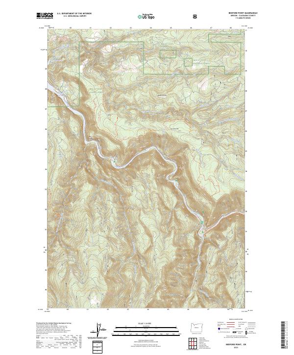
2023 Map of Bedford Point
USGS Topo · Published 2023About this map
Bedford Point rises above a landscape defined by the drainage basins of the North Fork Clackamas River and its numerous tributaries. This high-elevation terrain is characterized by steep ridges and deep valleys, including the prominent Fish Creek Divide and the sheer verticality of Big Cliff. The area is a nexus of protected federal lands, where the boundaries of the Mount Hood National Forest, Roaring River Wilderness, and Clackamas Wilderness converge. The Oregon St Highway 224 follows the path of the Clackamas River, providing the primary access point to this backcountry. Water sources are abundant, from Small Fry Lake to named seeps like Cold Spring and Hillockburn Spring. A network of Forest Service routes, including the Ladee 803 Trl, weaves through La Dee Flat, reflecting the region's managed recreational and timber history.
Find a feature on this map
39 named features on this map. Tap any name to fly to it.
Don’t see what you’re looking for? This feature index may not catch every label — zoom into the map to look around manually.
Map Details
Editions of this 2023 Bedford Point Map
This is the sole edition of this map. No revisions or reprints were ever made.
Other maps of this area

1911 · Boring
USGS Topo · 1:48,000

1914 · Boring
USGS Topo · 1:62,500

1916 · Estacada
USGS Topo · 1:125,000

1940 · Boring
USGS Topo · 1:62,500

1948 · Vancouver
USGS Topo · 1:250,000

1950 · Vancouver
USGS Topo · 1:250,000

1950 · Vancouver
USGS Topo · 1:250,000
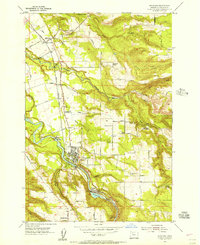
1954 · Estacada
USGS Topo · 1:24,000

1955 · Colton
USGS Topo · 1:62,500

1955 · Cherryville
USGS Topo · 1:62,500