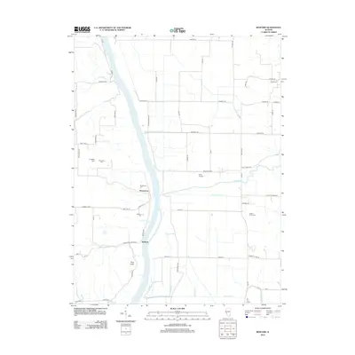
2012 Map of Bedford
USGS Topo · Published 2012About this map
Montezuma and Bedford anchor this reach of the Illinois River valley, where the waterway carves a wide path through the central Illinois landscape. The 2012 topography reveals a low-lying riverine environment defined by complex drainage systems like Morgan Slough, McEvers Cr, and Little Sandy Cr. West of the river, the land rises toward the prominent height of Pilot Knob, while a network of rural routes such as Lashmett Rd and Montezuma Rd connect the scattered homesteads. Genealogy interests are well-served by numerous small burial grounds, including the Adams Family Cem and Frame Cem, which dot the agricultural sections on both sides of the river. A local landing strip at Frost Airport and the recreational space at Freedom Field reflect more modern uses of the land alongside these established river settlements.
Find a feature on this map
68 named features on this map. Tap any name to fly to it.
Don’t see what you’re looking for? This feature index may not catch every label — zoom into the map to look around manually.
Map Details
Editions of this 2012 Bedford Map
This is the sole edition of this map. No revisions or reprints were ever made.
Other maps of this area

1924 · Winchester
USGS Topo · 1:48,000

1924 · Roodhouse
USGS Topo · 1:62,500

1924 · Griggsville
USGS Topo · 1:62,500

1926 · Griggsville
USGS Topo · 1:62,500

1926 · Winchester
USGS Topo · 1:62,500

1926 · Roodhouse
USGS Topo · 1:62,500

1930 · Pearl
USGS Topo · 1:62,500

1948 · Quincy
USGS Topo · 1:250,000

1950 · Pearl
USGS Topo · 1:62,500

1956 · Quincy
USGS Topo · 1:250,000