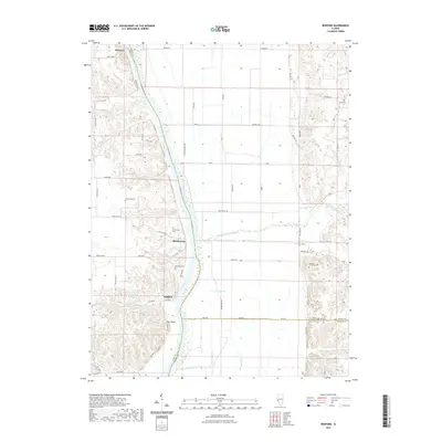
2021 Map of Bedford
USGS Topo · Published 2021About this map
The Illinois River serves as the central artery for this region, defining the borders between Pike, Scott, and Greene counties. Along its western banks, the riverfront settlements of Florence, Montezuma, and Bedford are positioned near the water, reflecting the historical importance of river-based transport and the fertile bottomlands of Morgan Slough. The topography is marked by significant elevation changes, notably at Pilot Knob and the McEvers area, where the terrain rises sharply from the river valley into a network of bluffs and creek drainages.
Find a feature on this map
71 named features on this map. Tap any name to fly to it.
Don’t see what you’re looking for? This feature index may not catch every label — zoom into the map to look around manually.
Map Details
Editions of this 2021 Bedford Map
This is the sole edition of this map. No revisions or reprints were ever made.
Other maps of this area

1924 · Winchester
USGS Topo · 1:48,000

1924 · Roodhouse
USGS Topo · 1:62,500

1924 · Griggsville
USGS Topo · 1:62,500

1926 · Griggsville
USGS Topo · 1:62,500

1926 · Winchester
USGS Topo · 1:62,500

1926 · Roodhouse
USGS Topo · 1:62,500

1930 · Pearl
USGS Topo · 1:62,500

1948 · Quincy
USGS Topo · 1:250,000

1950 · Pearl
USGS Topo · 1:62,500

1956 · Quincy
USGS Topo · 1:250,000