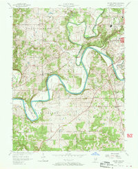
1957 Map of Bedford West
USGS Topo · Published 1970About this map
The East Fork White River carves a dramatic path through Lawrence County, creating distinctive landmarks like Gyger Bend, Stumphole Bridge, and the large loop at Horseshoe Bend. During this mid-century period, the landscape is defined by its industrial and agricultural balance, featuring multiple limestone quarries and sand pits near the city limits of Bedford. Regional transit is anchored by two major rail lines, the Chicago Milwaukee St Paul and Pacific and the Monon RR, which parallel the river and serve the local quarrying industry.
Find a feature on this map
39 named features on this map. Tap any name to fly to it.
Don’t see what you’re looking for? This feature index may not catch every label — zoom into the map to look around manually.
Map Details
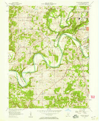
Editions of this 1957 Bedford West Map
2 editions found
Other maps of this area

1934 · Bedford
USGS Topo · 1:48,000

1935 · Oolitic
USGS Topo · 1:48,000

1937 · Bedford
USGS Topo · 1:62,500

1942 · Oolitic
USGS Topo · 1:62,500

1948 · Huron
USGS Topo · 1:24,000

1949 · Georgia
USGS Topo · 1:24,000

1950 · Mitchell
USGS Topo · 1:24,000

1950 · Huron
USGS Topo · 1:24,000

1951 · Georgia
USGS Topo · 1:24,000

1956 · Vincennes
USGS Topo · 1:250,000