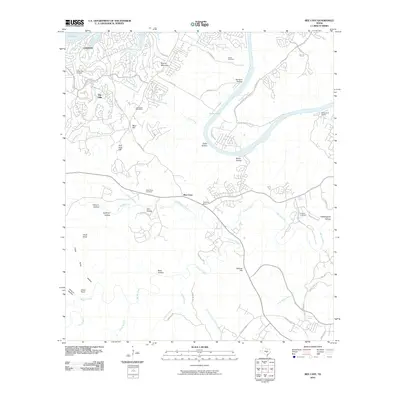
2010 Map of Bee Cave
USGS Topo · Published 2010About this map
Bee Cave and Lakeway anchor this detailed study of the Texas Hill Country as suburban expansion meets the winding waterways of the Colorado River. The landscape is defined by the hydrologic connection between Lake Travis and Lake Austin, where residential developments like The Hills and Panorama Ranch sit alongside historic cattle ranching land at Shield Ranch.
Find a feature on this map
67 named features on this map. Tap any name to fly to it.
Don’t see what you’re looking for? This feature index may not catch every label — zoom into the map to look around manually.
Map Details
Editions of this 2010 Bee Cave Map
This is the sole edition of this map. No revisions or reprints were ever made.
Other maps of this area

1887 · Blanco
USGS Topo · 1:125,000

1894 · Blanco
USGS Topo · 1:125,000

1896 · Austin
USGS Topo · 1:125,000

1897 · Austin
USGS Topo · 1:125,000

1910 · Austin
USGS Topo · 1:125,000

1930 · Austin-2
USGS Topo · 1:48,000

1930 · Blanco-1
USGS Topo · 1:48,000

1932 · Mt. Bonnell
USGS Topo · 1:62,500

1954 · Austin West
USGS Topo · 1:24,000

1954 · Llano
USGS Topo · 1:250,000